


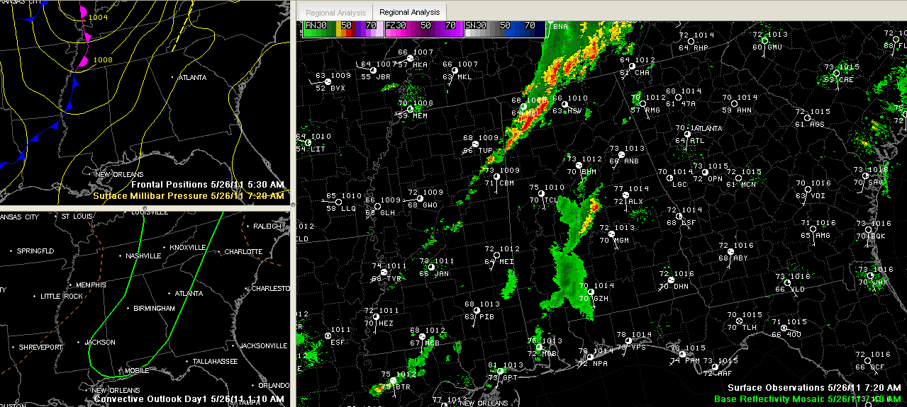
Heavy storms are over Northwest Alabama this morning. They cover parts of Marion, Franklin, Lawrence and Limestone Counties.
Over Central Alabama, storms were over Chilton and northern Autauga Counties. The heaviest rain was east of Clanton.
Everything is moving to the northeast at about 30 mph this morning.
The stronger storms will contain heavy rain, lightning, some hail and wind gusts to as high as 50 mph.
The storms are ahead of a slow moving cold front that will cross the area today. More storms will form as the atmosphere heats up during the day. The airmass is already primed for thunderstorms to develop over West central Alabama, mainly south of a line from Fayette to Birmingham to Alex City with CAPEs running 1500-2000 /kg and very little cap in place. There is decent speed shear in the atmosphere for organized storms, and that should continue for much of the day. Right now, there is decent low level spin or helicity over North Alabama, but luckily the storms are not strong yet up that way.
The helicity will quickly move our today and with little helicity in place, tornadoes will be not a significant threat, although an isolated small one can’t be ruled out. There could be a few damaging wind reports, but the majority of the reports today should be large hail. Be alert for heavy rain and lightning as well.



