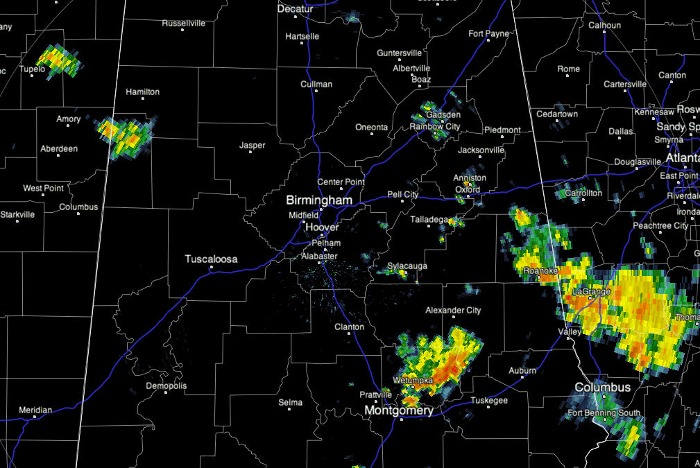
There was a significant flash-flood event in parts of East and Northeast Alabama overnight extending to as late as 2 and 3 o’clock this morning. At one time, numerous streets and roads around Gadsden were flooded. Here we go with a selection of rain amounts for the last 24 hours ending at 6 and 7 this morning:
2.03 Weaver
4.50 to 5.00 Cedar Bluff(estimated, Bulldog destroyed the rain gage!)
1.52 Huntsville Airport
1.70 Crossville
2.17 Valley Head
1.25 Fort Payne
1.01 Anniston and Evergreen
2.37 Centre
1.10 Livingston
2.46 Blue Pond
1.82 Dearmanville (east of Anniston)
3.38 Ellisville (Cherokee County)
3.80 Centre
2.55 Boaz
2.12 Hazel Green
Don’t have the exact total but I understand that over four inches at the Gadsden Skycam
11 AM UPDATE
Widely scattered storms developing over East and Southeast Alabama. A few of those are moderate to strong but they are widely spaced so far. Look for a general increase in storms this afternoon and well into the night. Rain amounts will be locally heavy. Long night likely in the weather office with a marked increase in coffee consumption!
As we always say, who needs sleep?