


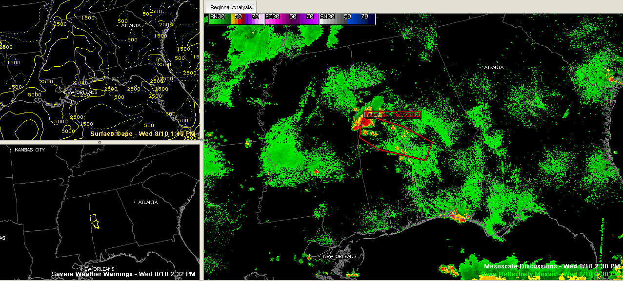
Storms are growing over West central Alabama at this hour in an unstable airmass. They are being triggered by an outflow boundary that has moved southeastward from Northern Mississippi. They are expected to continue growing in number and intensity and will move southeastward into South Central Alabama
A note from the SPC indicates that they don’t anticipate having to issue a severe thunderstorm watch because of the short duration and isolated nature of the storms, but I would bet there will be more severe thunderstorm warnings through the afternoon. There is a potential for damaging winds, some hail and lots of lightning as well as heavy rain.
Additional outflows are pushing across North Central Mississippi and could trigger storms a little further north across West Central into North Central Alabama this afternoon.
Be alert for approaching or developing storms this afternoon and be inside before they arrive.



