


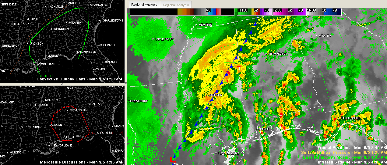
Click to enlarge
A few notes early this morning…
The SPC says they may upgrade parts of Alabama to a Moderate Risk outlook for severe weather today. We currently will go under a slight risk at 7 a.m. this morning for the rest of the day and night.
A tornado watch is already in effect for the southwestern quarter of Alabama until 7 a.m. The SPC says it will likely have to be extended north and east before the old watch expires. Here is the graphic from the MCD…
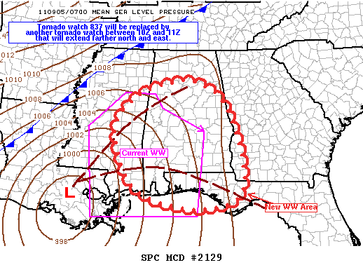
Lee has lost its tropical characteristics now and is a low pressure system centered west of New Orleans. It will move northeastward along a frontal system that extends across Central Mississippi and into Northwest Alabama today. This changeover to extratropical could actually increase the tornado threat a bit.
The NWS has also issued a wind advisory for Central Alabama for today. It goes until 7 am Tuesday. Winds will average 15-25 mph with higher gusts as Lee’s remnants move through.
Heavy is also likely and flash flood watches are also in effect.



