


Click to enlarge
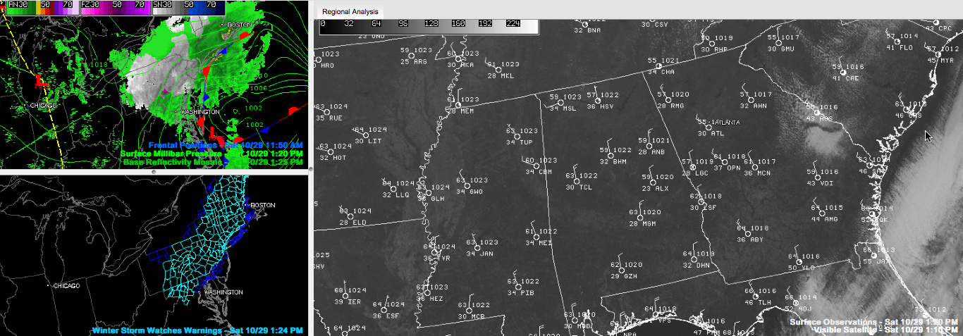
The normal high for Birmingham on October 29th is 72F. We will likely top out around 61F or so this afternoon.
Right now, temperatures are moving through the upper 50s for the most part across Central Alabama under totally cloudless skies.
A brisk north wind is making feel a little colder at times.
Temperatures tonight will fall into the lower and middle 30s. Low spots and locations protected from the wind will experience a light freeze. Most everyone will see frost on the pumpkin in the morning.
Sunday will be a lot like today, just 3-4 degrees warmer with less breeze. In fact, winds will shift to the south during the day. Sunshine will be the rule, with just a few clouds developing late in the day.
A nice run of weather for Monday-Wednesday. A few showers will return late in the day on Thursday and last into Friday ahead of a cold front.
There is a little more uncertainty in the weekend forecast thanks to the notion that we will find ourselves in a warm advection pattern by Saturday as another storm system follows on the heels of the one Friday. This could introduce showers back into the forecast as early as Saturday evening, with raina nd maybe some storms late Saturday night into Sunday.



