


Click to enlarge
A decent afternoon is in progress as we begin to shut down October and turn toward November.
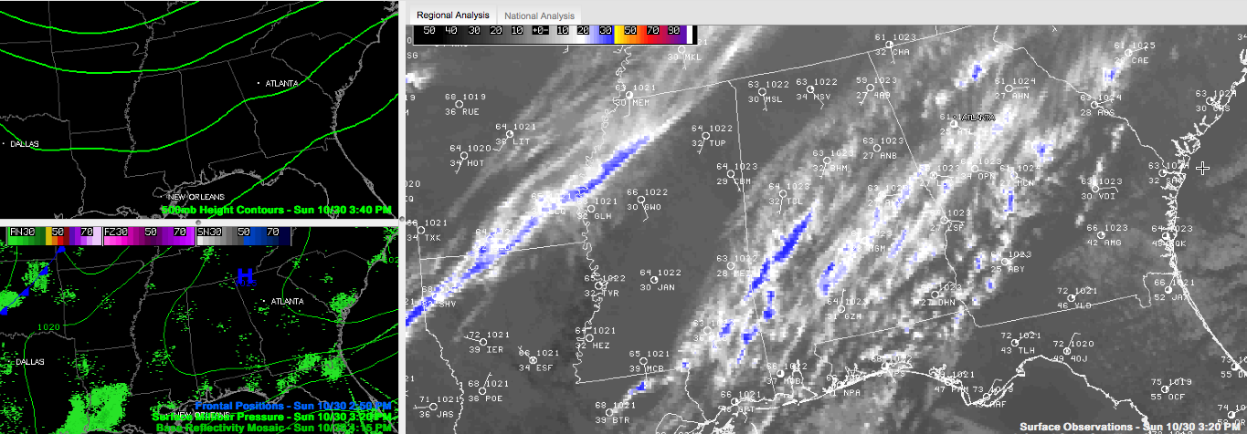
High clouds have overspread the south eastern two thirds of Alabama today, roughly along and south of a line running along I-59. The clouds are not thick enough to block the sun, only to filter it a bit.
Temperatures are in the lower 60s, getting ready to settle back into the upper 30s on average overnight. Most spots will see at least a light frost again. A few spots may see a light freeze again, but it won’t be as widespread as this morning.
High pressure remains in control of our weather at the surface, with a weak trough approaching from the west in the mid and upper levels of the atmosphere. The high clouds are the result of upper level moisture from the western Gulf riding up over Alabama in the southwesterly flow aloft.
A weak and dying cool front will pass into the state tomorrow, but the only think you will notice is a wind shift and a some other clouds with the front.



