


Here is output from the RPM model valid at 5am CST Tuesday…
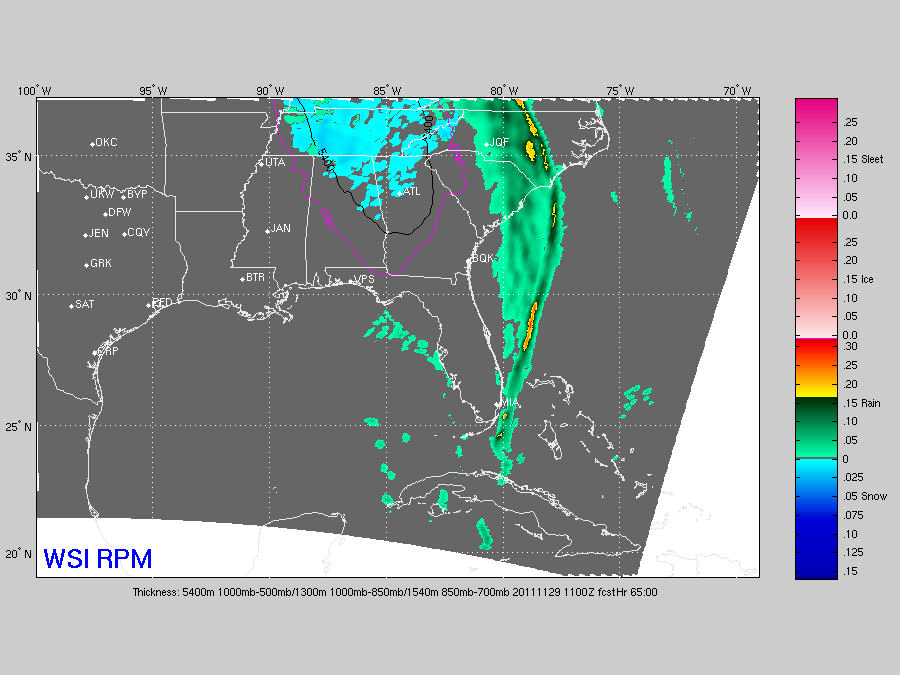
The cold core upper low should bring some light snow to much of North Alabama, especially the northeast counties of the state, but the warm ground and surface temperatures above freezing should prevent accumulation or travel issues. But, we all know cold core systems like this will bring a surprise or two. Will be interesting to watch for sure…



