


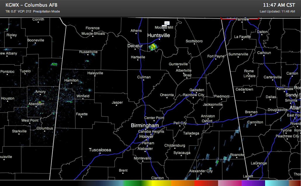
The tornado watch has been canceled for Franklin, Lincoln and Moore counties in Tennessee and DeKalb, Jackson, Lawrence, Limestone, Madison, Marshall and Morgan Counties in Alabama.
But don’t let this fool you. This is a temporary break and more severe weather is expected later today and tonight. Additional tornado watches will be issued later.
Showers continue to try to form in the favored area from Columbus MS northeastward into North Alabama but they are having a hard time overcoming the cap. There is a growing storm south of Huntsville as you can see on the radar.
The capping inversion keeps a lid on the atmosphere, letting it slolwy increase until it boils over. That is when the storms will fire and rapidly become severe. All the sunshine across the area is not helping things. I see lots of people tweeting that the sunshine is not cool. They are absolutely right.
The NWS in Birmingham will be launching a special balloon at noon, as will several other weather offices across the South. This will give us an indication of the strength of the cap and when we can expect it to break.



