


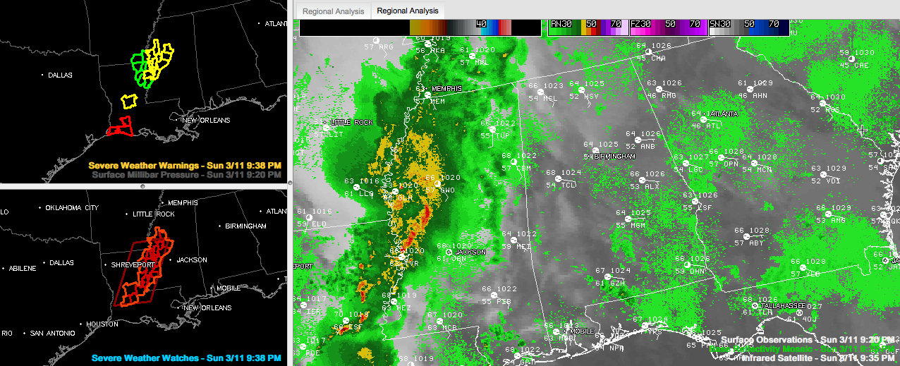
Showers and storms continue across Louisiana and Mississippi tonight.
Some of them have prompted severe thunderstorm and tornado warnings. A few reports of tree damage have been received.
A tornado watch remains in effect for western Mississippi and Central Louisiana.
The storms will continue to weaken as they push east. A few of them could bring lightning/thunder, gusty winds and small hail to Northwest Alabama overnight.
By tomorrow morning, we find a weakening upper low pushing across Iowa. It will push into Canada during the day. A weakening cold front will settle into North Alabama today. If a little sun breaks through, some of the afternoon storms could be strong and a couple of them could be severe. Shear will be light, so tornadoes should not be a problem, but high winds and hail are possible. Highs Monday will be in the lower 70s.
The airmass over Alabama will not change in the wake of Monday’s storms. This means daily doses of showers and storms with the heating of the days. And there will be some heating, with temperatures soaring into the upper 70s to lower 80s each day Tuesday through Thursday. Somewhere in there, we will see a big complex of storms or two. Strong to severe storms could happen and afternoon. Lows will be warm as well, with lows only dropping to near 60F. These kind of temperatures are more typical of late May. Record highs on Tuesday through Friday are 84F each day. I predict we will break at least one.



