


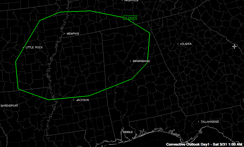
The SPC has posted their basic severe weather risk forecast for today that includes much of the northwestern half of Alabama. It will go into effect at 7 a.m.
Areas north and west of a line from Livingston to Maplesville to Sylacauga to Anniston and Fort Payne are included in the risk area. The main threat is for damaging winds.
Patchy dense fog will develop overnight. The fog will burn off around mid-morning and a strong spring sun will warm the lower levels of the atmosphere. Meanwhile, some colder air aloft will rotate over the state. Colder air above warmer air yields an unstable airmass, and scattered thunderstorms will develop.
Some of them could be strong or even severe by late morning into the afternoon afternoon as there will be sufficient wind shear for organized storms. But low level shear is not expected to be significant and the biggest threats will be from isolated damaging winds.
There are lots of outdoor events across Central Alabama later today. Be alert to changing weather conditions and pay attention to advice from event organizers. Have a way to receive severe weather warnings in case they are issued.
Highs will top out near 80F. After overnight lows around 60F Saturday night with a little patchy fog again.
Sunday highs will soar into the middle 80s with fewer storms to contend with.



