


Click image to enlarge.
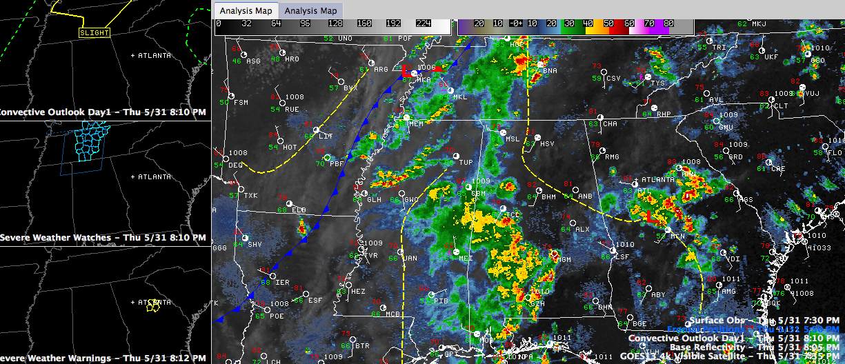
Showers and thunderstorms have weakened tonight after spreading into Alabama.
The concern about severe weather has greatly diminished. We could still see a flare up somewhere along that leading edge of storms, but that is looking less likely as we go through time.
There have been a few warnings over West Central Alabama, but the storms’ bark was a lot worse than their bite.
The severe thunderstorm watch for North Alabama has been canceled and there are no warnings now. The slight risk that was in effect has been canceled as well.
Early morning showers and clouds spoiled the atmosphere for the storms that spread into the state. Severe weather parameters just weren’t very impressive, as the airmass was not very unstable and wind shear values were weak.
More storms are forming ahead of the cold front back over northern Mississippi. That front was approaching the Mississippi River at 8 p.m.
These storms should weaken as they move into Alabama during the early morning hours. What’s left of the showers will push to near I-59 by mid-morning and southeastward through early afternoon. They should clear the I-85 corridor by 2 o’clock or so.
We should see some sunshine by late morning, with a decent supply by early afternoon. It will be much cooler, with afternoon readings remaining in the upper 70s. Throw in a nice northwesterly wind behind the front, averaging 10-20 mph, and it will feel positively refreshing.
Get ready for a delightful night Friday night, with temperatures in the lower and middle 50s.
Saturday looks like a great day, with lots of sunshine and highs in the lower 80s. Saturday night won’t be bad, with lows in the upper 50s, but we will be pushing 90F by Sunday afternoon. Welcome back to reality.



