


Click image to enlarge
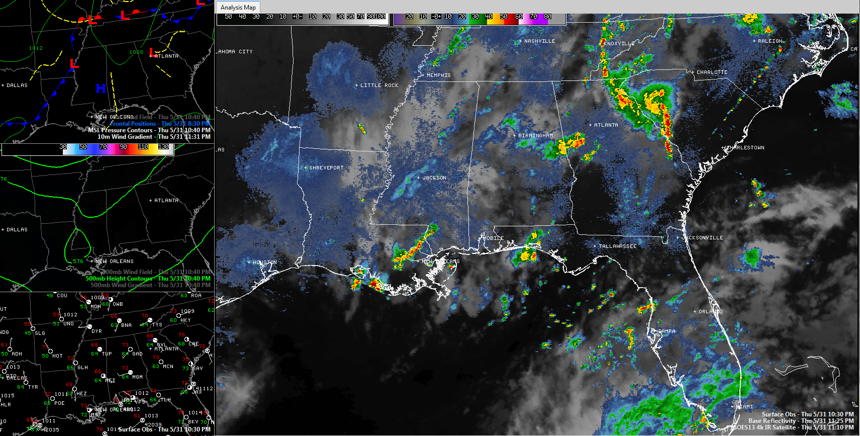
Showers and thunderstorms evaporated off the radar tonight about as fast as donuts at a Mississippi State Severe Weather Symposium.
The RPM model tried to tell us that is what was going to happen, but being the stubborn meteorologists we are, we didn’t want to change forecasts in mid-stream earlier today.
The result has been mainly no rain for our brown lawns. The positive benefit was very little in the way of severe weather.
We still have the front back to the west of us, near the Mississippi River tonight. The RPM predicted that storms would redevelop ahead of the front over northern Mississippi and then weaken. That happened. It also thinks that showers will reorganize a bit after midnight and push into the state during the pre-dawn hours. Looks possible, especially with that weak surface low near Tunica, MS.
The showers will have one last hurrah around 10-11 a.m. in the vicinity of I-59 and push on southeastward. They will be out of the I-85 corridor by mid-afternoon.
It will be cooler and breezy on Friday with highs limited to the upper 70s along with a northwest wind averaging some 10-18 mph.



