


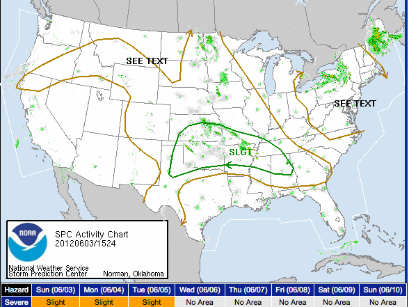
The SPC has expanded their slight risk severe weather outlook southeastward into North and Central Alabama.
The airmass over the Southeast has warmed and moistened and there is sufficient lift and shear to allow strong to severe storms to develop this afternoon across Mississippi and Alabama. We already see that happening over northern Mississippi, where a storm near Holly Springs has risen to a height of over 50,000 feet.
In addition, a complex of storms is forecast to develop tonight over Missouri and Arkansas. This complex will come southeastward into Alabama later tonight and early Monday. Those storms could produce severe weather as well.
The threat will be large hail and damaging winds. The tornado threat is minimal at best.



