


Click image to enlarge
At least for Central Alabama…
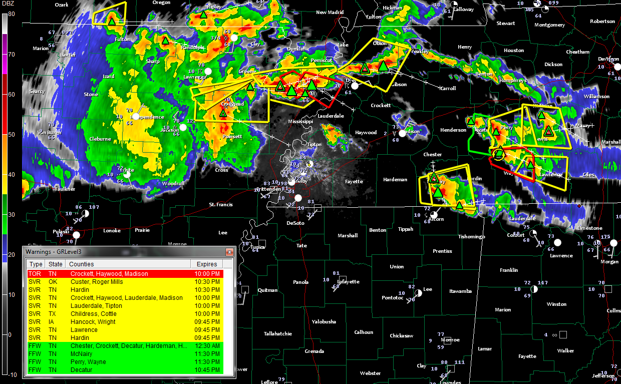
The latest run of the RPM model is pretty believable. It is handling the current behavior of the storms over Tennessee and the weakening area of rain over Arkansas.
The model predicts that the storms over southern Tennessee will sag down into the Tennessee Valley of North Alabama overnight. The storms should gradually weaken, although there could be a few strong to severe ones over the northern tier of counties, and perhaps a couple of strong ones toward daybreak from Marshall County down to around Gadsden and Jacksonville in East Alabama.
The rainmass in Arkansas does not strengthen as it moves southeast. It in fact falls apart. (Not good news since we need the rain, but good news in that the threat of severe weather seems greatly diminished.
Still, we will need to keep a close eye on things through the night just in case something doesn’t play out this way.
I think that what is working in our favor is the fact that the earlier storms stabilized the atmosphere over northern Mississippi and northwestern Alabama. We will take it.
More storms will likely form during the day tomorrow to our northwest and come our way in the northwesterly flow aloft. There probably will be more severe weather tomorrow.



