


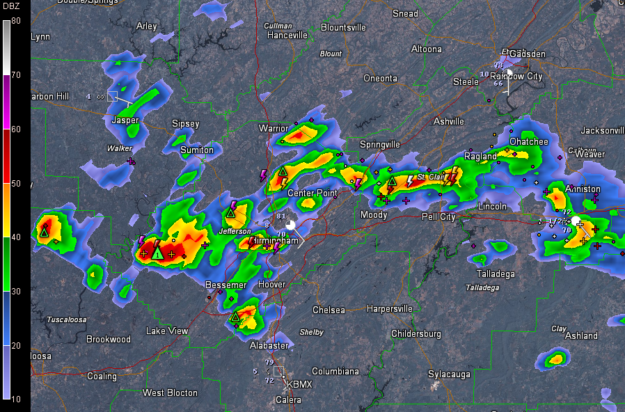
The severe thunderstorm warning that was in effect for St. Clair, Etowah and Calhoun Counties was allowed to expire at 6:30. The storm between Ragland and Ohatchee weakened and is no longer severe.
That welcome sound you hear this morning across North Central Alabama is thunder, and maybe even rain.
Showers and storms started to develop over East Alabama around 4 a.m. this morning.
At 6:40, strong storms were over the western side of the Birmingham Metro. They extend from downtown westward to ROck Creek and Sylvan Springs. These storms are capable of small hail and strong gusty winds as well as lightning and heavy rain.
There is heavy rain on I-59/20 near Arkadelphia. Be careful if you are driving in from the western areas.
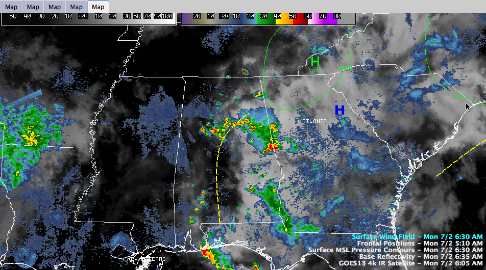
They are apparently developing because of a trough of low pressure that is rotating around a surface high over the Smoky Mountains of western North Carolina and eastern Tennessee.
This ridge is trying to build back over Alabama, but the morning storms are a good sign that the worst of the heat may be behind us.
Highs today will range between 95-100F (warmer in areas hat don’t see rainfall this morning). Some spots that see rain and clouds much of the morning could be considerably cooler.
A heat advisory does remain in effect through this evening for heat index values of of 105F to 110F in the hotter locations. Highs the rest of the week should fall back into the middle 90s.



