


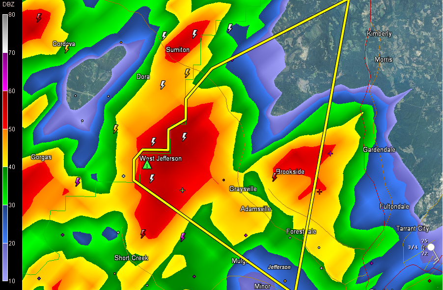
The severe thunderstorm warning continues for Jefferson County. It has been canceled for Walker since the storms have moved out of the county.
Strongest storms now from just south of Sumiton to West Jefferson, moving east southeast.
Very intense lightning in Sumiton according to a recent report.
Storms will affect areas from Adamsville to Graysville to Linn Crossing then across through Cardiff, Brookside, Coalburg and Forestdale.
An areal flood advisory (below a flash flood warning, sort of the equivalent of the significant weather alert but for flooding) has been issued for much of Jefferson County.
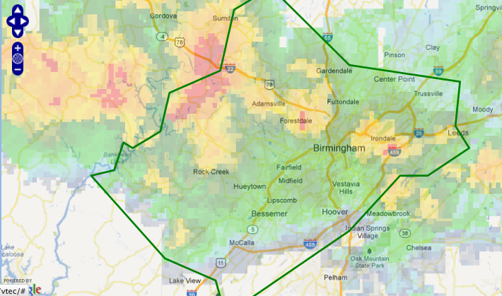
All of those storms over Walker County will move slowly southeast over the next couple of hours bringing heavy rain with them to some spots. Also cooler temperatures.
There could be a few severe thunderstorm warnings with any stronger cells. We will be watching them.



