


Here is the radar at 10 p.m.

Here are the warnings:
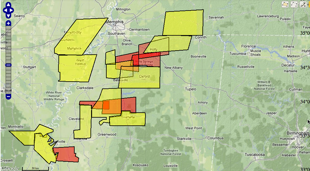
LATE REPORTS
Wind damage at Senatobia MS at 9:30 and at Tunica at 9:30 p.m. also. No recent reports of tornadoes although several tornado warnings are in effect.
WATCH ISSUED FOR NORTHWEST ALABAMA
A severe thunderstorm watch has been issued for Northwest Alabama including Franklin, Lauderdale and Colbert Counties. Further south, expect a watch later for western Alabama. It remains to be seen whether it will be a tornado or severe thunderstorm watch. Probably a tornado watch.
EVENT STILL COMING TOGETHER FOR ALABAMA
The storms are starting to congeal into a squall line, as expected over Mississippi. They will progress east with a threat of damaging winds and isolated tornadoes. The airmass over western Alabama will become more unstable over the next couple of hours as a strong low level jet pumps warm, moist air northward. This will keep the severe threat going into West Alabama.
Areas west of I-59 will see the storms between 1 a.m. and 4 a.m. The storms should slowly weaken as they push southeast of I-59.



