


There will be a low end threat of severe weather Monday night across southern portions of Central Alabama. Areas south of the line on this graphic are in the Day Two severe weather outlook starting at 6 a.m. Monday.
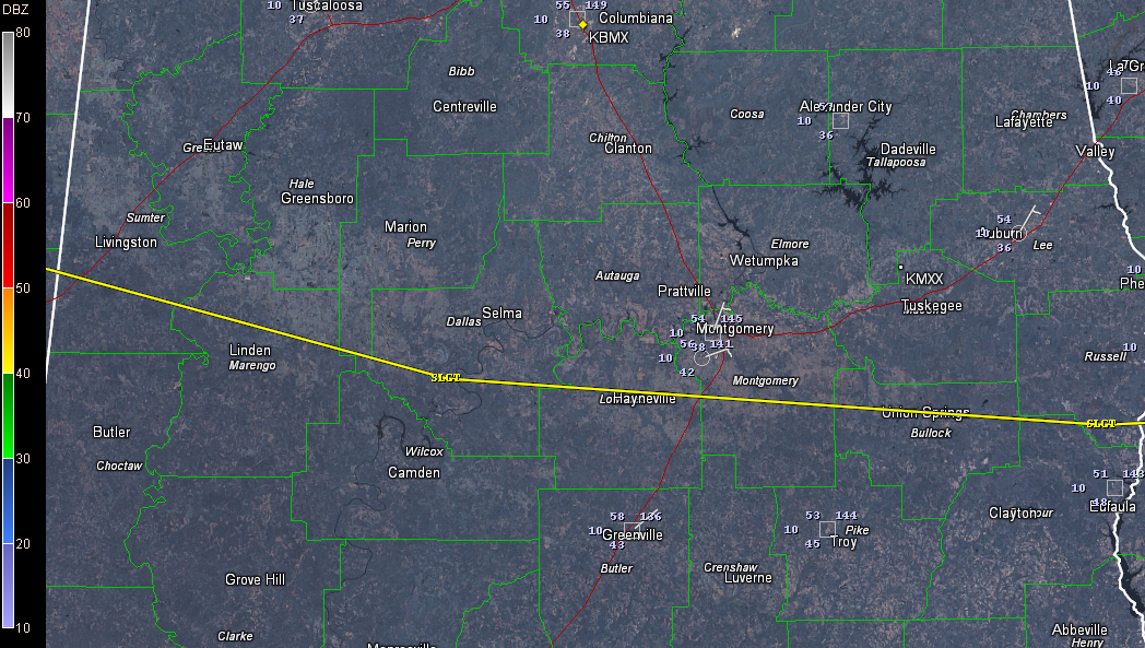
The main threat in South Central Alabama will be damaging winds, with the greatest threat near the coast from Lafayette up to McComb over to Mobile. There is 30% chance of severe weather within 25 miles of locations in this area. It is still to be determined whether the severe weather threat in this area will be damaging winds (if the main mode is a line of storms) or tornadoes (if discrete cells can form). The peak of this activity should come tomorrow afternoon.
We don’t expect the warm front to make it very far north tomorrow, which will limit the severe weather threat over North Central Alabama. We can’t rule out a few isolated warnings, but significant problems are not anticipated.
There will be quite the temperature contrast across the state tomorrow, with 40s over Northeast Alabama and readings near 70 in Mobile.
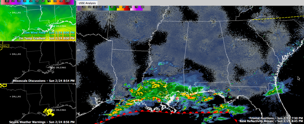
Tonight, strong storms are already occurring along the Gulf Coast to the north of the warm front. A severe thunderstorm warning is currently in effect for several Parishes in southeastern Louisiana.



