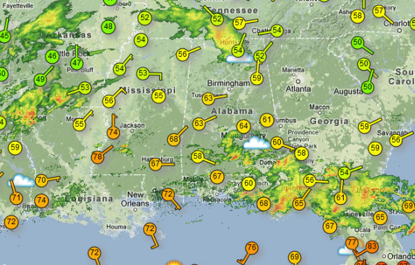
We remain under a slight risk for severe weather across Alabama this evening. Heavy showers and thunderstorms continue along the Gulf Coast. Currently there are no severe weather warnings in the state of Alabama. Along with radar, the map shows surface observations across the Southeast. You can see across southern Mississippi that the warm and unstable air has made it as far north as Jackson so far. Across Central Alabama most locations remain the 60s. Still expect warm front to continue lift north this evening. As it does, the severe weather threat should increase across the region. More showers and thunderstorms are developing to our west and we expect many more to develop to our southwest across Louisiana and southern Mississippi. Storms should impact Central Alabama throughout the overnight hours.
Published on: March 23, 2013 at 4:33 PM
Related Articles
October 31, 2026 at 7:11 AM
Scattered Showers for Halloween
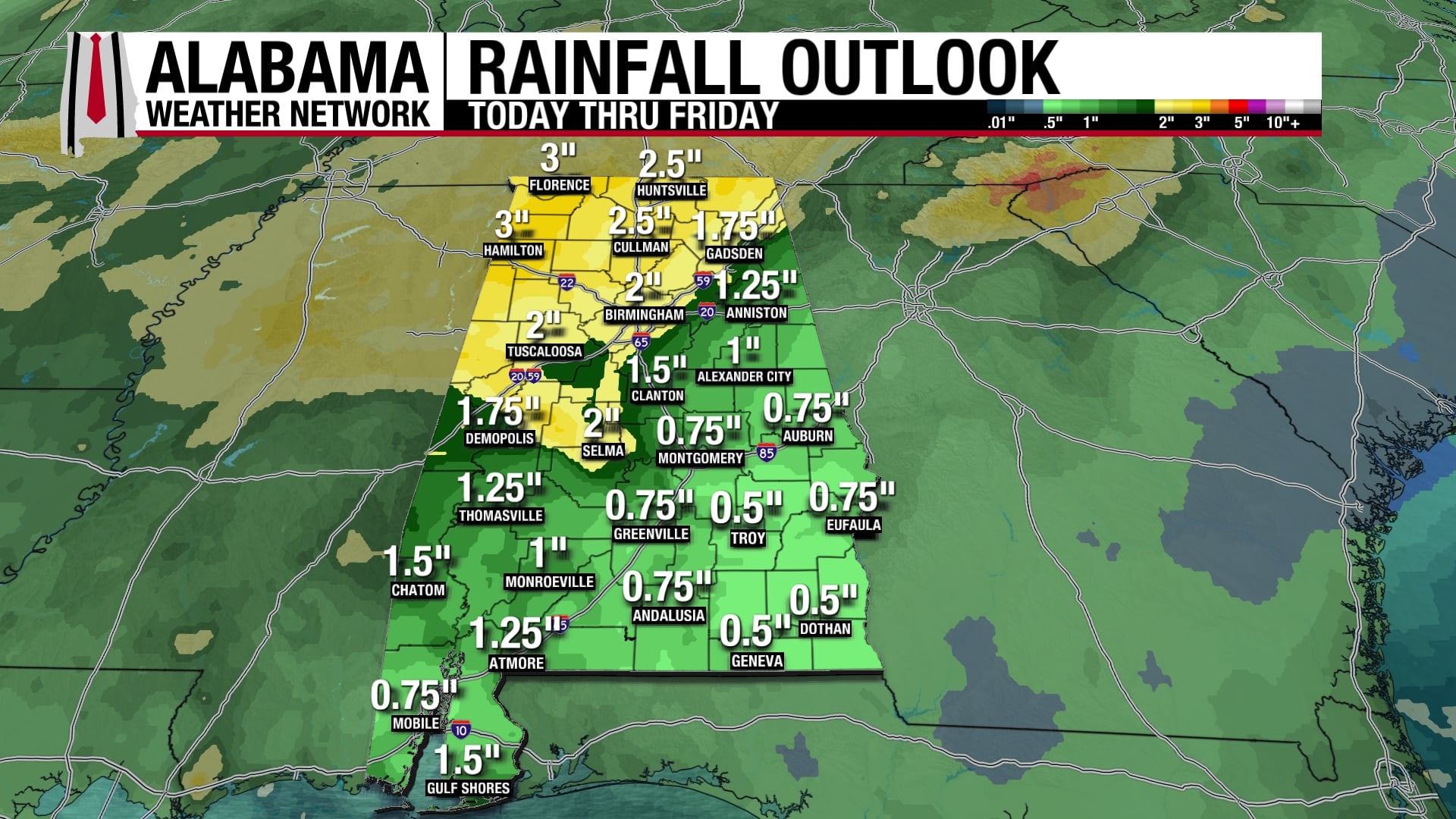
Our dry, benign weather pattern gives way to a more active pattern starting today. An upper-level shortwave moves through Alabama today and tomorrow bringing some rain to the state this weekend. The beginning of next week will be on the drier and quieter side before an upper-level trough pushes a surface low-pressure system through Alabama on Wednesday, bringing more rain and some storms. The week will end dry. Continue reading →
READ MORE
October 30, 2026 at 3:02 PM
Some Rain At Times Over The Weekend
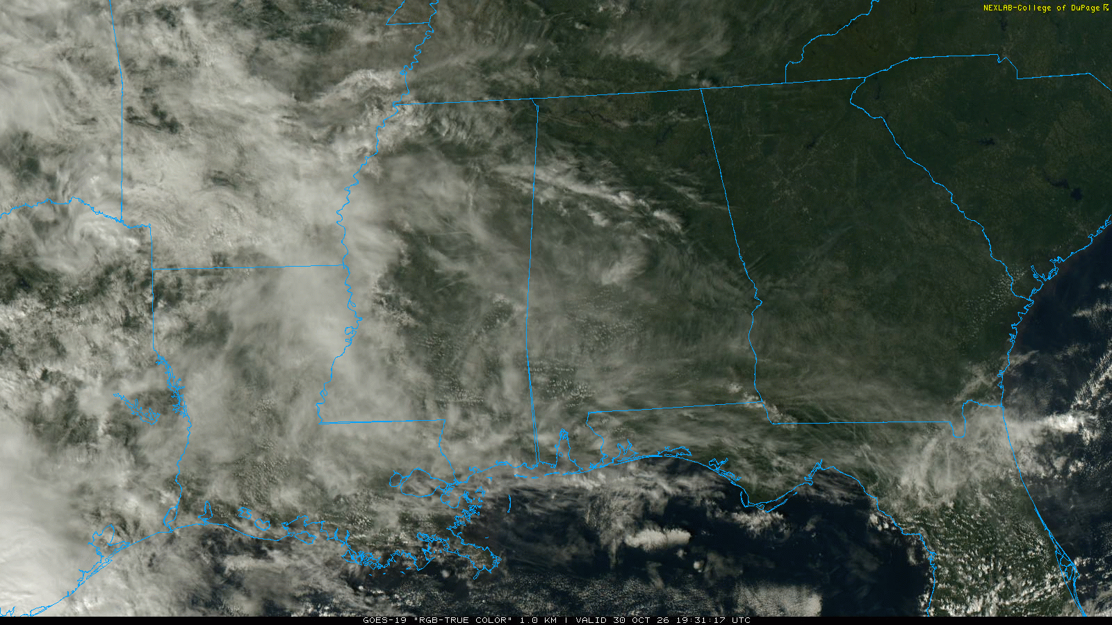
WARM AFTERNOON: Temperatures are between 77 and 82 degrees across Alabama this afternoon with sun through high cirrus clouds. No rain on radar. Clouds will increase tonight. We will mention a chance of showers statewide over the weekend. A few … Continue reading →
READ MORE