


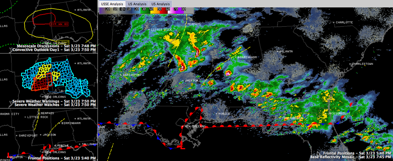
Hail is the big story tonight, thanks to the atmospheric profiles. High winds could become a problem as we head through the night. The storms are clearly forming ahead of a warm front that is lifting north.
The main storm right now is approaching Marion. It caused some wind damage in Demopolis. Power lines were torn down in front of the National Guard Armory. Large hail is falling from this supercell. It is rotating, but it is too far north of the warm front still to produce tornadoes for now. This will affect Clanton by 8:30 or so.
There is a strong storm passing north of Eutaw. This storm will affect northern Greene, Hale and southern Tuscaloosa Counties.
A heavy storm is affecting northern parts of the Birmingham Metro area now along the Walker/Jefferson County line up to Warrior and Morris and then into Blount County. Lots of lightning, perhaps some small hail.
We are watching a dangerous storm over northeastern Mississippi that appears to be assuming a bow shape indicating the possibility for high winds. This storm will affect Starkville, West Point and Columbus before affecting Lamar and northern Pickens Counties after 8:30 p.m.



