


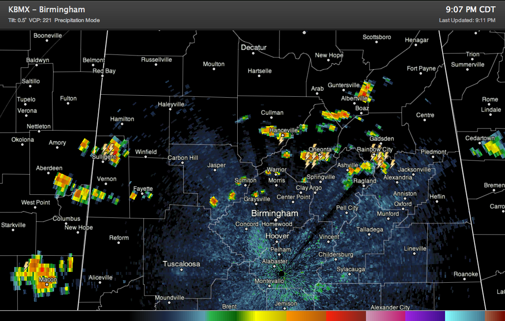
Showers and storms are making a late evening comeback across Central Alabama as a weak surface low tracks across the Tennessee Valley.
They cover parts of Lamar County in West Alabama. The strongest storm is northeast of Sulligent.
Storms are forming over southeastern Walker and northern Jefferson Counties, extending into Cullman, Blount, Marshall, St. Clair and Etowah Counties. Heavy storms are near Oneonta, Hanceville and Rainbow City.
They are moving east northeast.
They should start weakening before midnight and will likely die out in the pre-dawn hours.



