


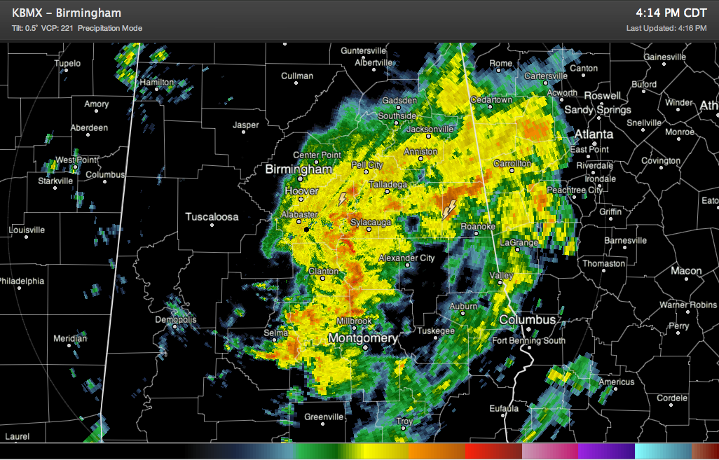
A large mass of rain and some embedded thunder is moving northeastward across Central Alabama at this hour. Some heavy rain is invilved.
Its northern edge is along I-20 from the Birmingham Metro eastward to Cleburne County. It extends southward through Coosa, Chilton, Autauga and Dallas Counties to a upper level disturbance center over Perry County.
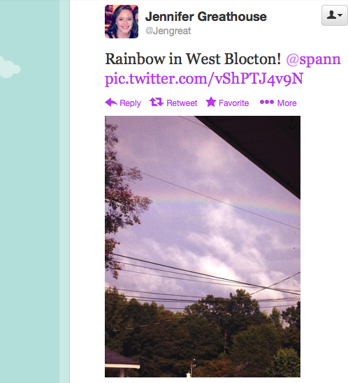
There is actually a little bit of sinking air behind the disturbance that is allowing a few breaks in the clouds over Bibb, Hale, Sumter and Greene Counties. Rainbow pics are starting to show up! Like this one from Jennifer Greathouse in West Blocton!
But back to the west, a few showers are along the front which extends from west of Decatur to Columbus MS.
The low that is the remnant of Karen is near Mobile.



