


What a great crowd at Storm Alert Xtreme this morning… had to leave early and I am writing this from Tuscaloosa, where I provide weather support for University of Alabama games. This post is to look ahead to the pre-Thanksgiving storm that will bring lots of issues to the nation.
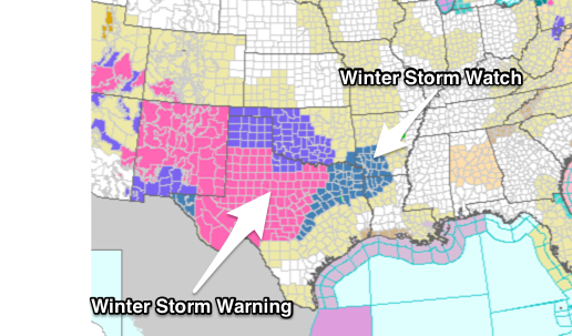
Already, winter storm watches and warnings are up for many areas west of Alabama…
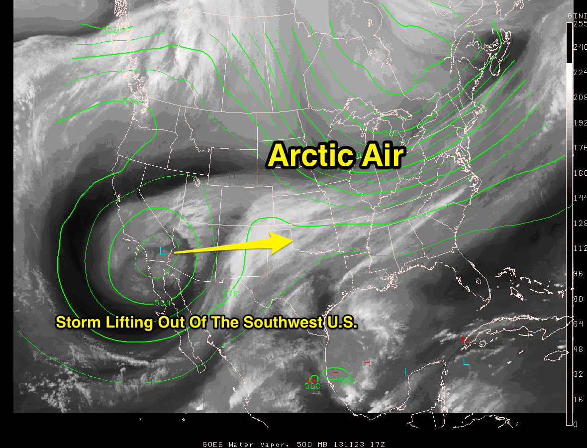
A major storm will lift out of the Southwest U.S… and with Arctic air in place over much of the nation, that always makes for an interesting forecast.
THE ALABAMA STORY: Clouds thicken Monday, and it looks like the precipitation will begin as sleet over much of North Alabama late Monday and Monday night due to the very dry air in place, and evaporational cooling. This is not expected to create any issues with temperatures well above freeing Monday night.
TUESDAY SOAKER: A surface low will pass just to the south of here Tuesday, and a chilly, soaking rain is likely for our state. Rain amounts will average around two inches with temperatures holding in the 40s all day.
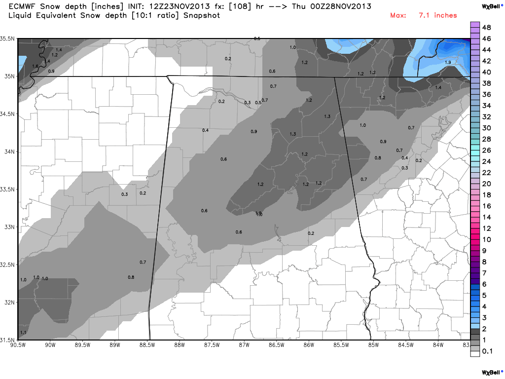
SNOW FLAKES WEDNESDAY? Model guidance is insisting that a few snowflakes will fall across parts of Alabama Wednesday as energy transfers to a developing low off the South Atlantic coast, and more cold air is pulled southward. Below is the latest (12Z) ECMWF snow depth guidance for Wednesday evening…
And, below is the output of the GFS model valid at 6pm Wednesday…

Not sure the GFS idea of the northern low being out to sea is correct; I think it will be much close to the coast.
Quite frankly, thermal values don’t really look cold enough for snow here until the deeper moisture has lifted out. But, as we all know, there isn’t much skill in forecasting snow events four days in advance.
BOTTOM LINE: We will probably need to phase in the mention of rain possibly changing to snow before ending Wednesday across North and Central Alabama. Doesn’t look like a major issue, but we will need to watch it closely in coming days.
TRAVELERS BE AWARE: The coastal storm has potential to bring lots of wind, rain, and some snow to the eastern U.S. Wednesday into Wednesday night, with potential for airport delays and other issues. Stay tuned for updates…



