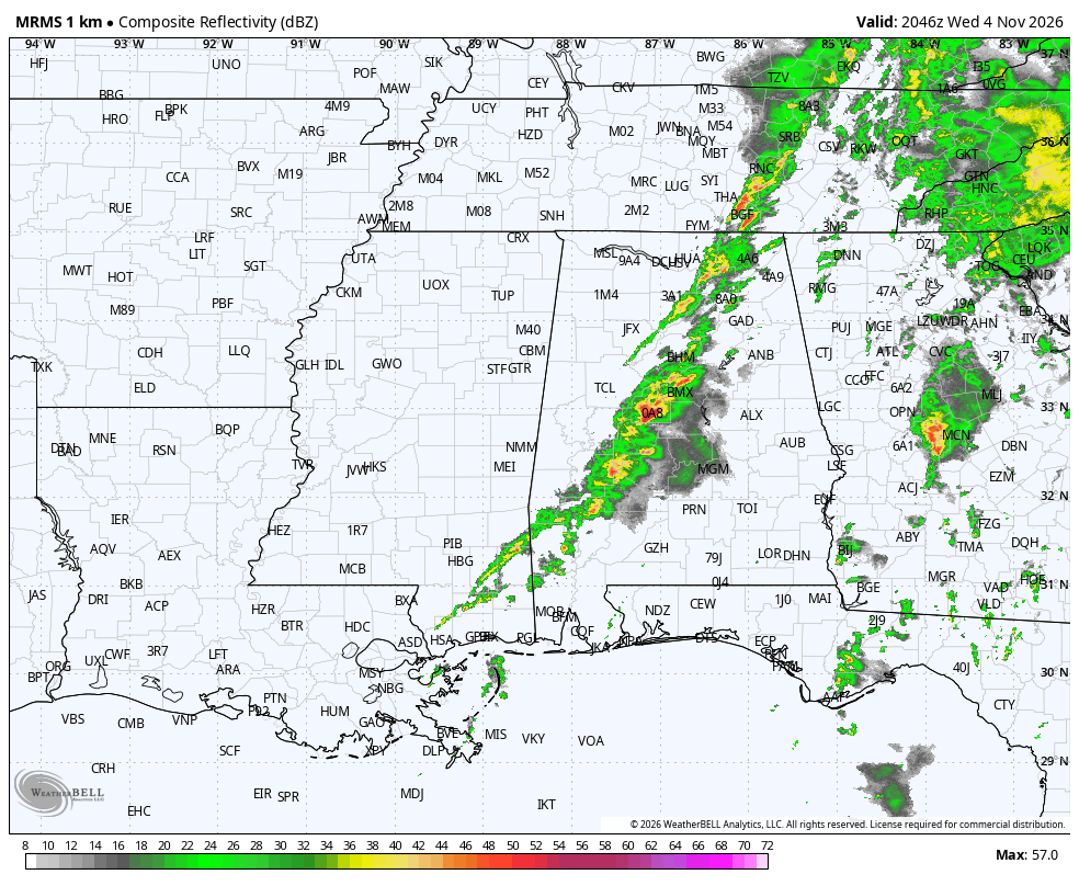
A band of showers and elevated thunderstorms has been streaming across North Alabama throughout the morning hours in a zone of disturbed weather.
The activity has not made as much southward progress as was advertised by some of the mesoscale models last night. Early Saturday morning, the 4 km NAM model was less effective than the RPM, so when the RPM became bullish on the idea of this morning’s showers becoming more widespread down to the I-20 corridor, I bought in.
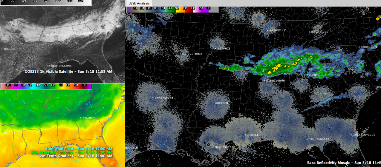
Click image to enlarge.
But the NAM turned out to be more right, keeping the activity generally north of Birmingham.
Both models were right that the plume of precipitation would start to peter out as we approached the afternoon hours and the first disturbance moved away to the northeast.
Upstream, we see another disturbance sliding through southern Missouri and northeastern Arkansas. As this disturbance slides southeastward, it could re-ignite the activity and produce more showers and storms this afternoon over Central Alabama. We will be watching the radar.
Downstream, the SPC thinks that this disturbance will trigger active storms from Central Georgia into Central South Carolina. They also think these storms have a chance to become severe on a little more organized scale and have thusly posted a slight risk, their standard severe weather forecast for areas between Atlanta and Savannah, including Macon and Augusta. Regional radar mosaics do clearly show a fine line in radar returns that is that snaky stationary front that extends from near Mobile to just north of Savannah.
Quite a range in temperatures across Alabama. It is 58F in Muscle Shoal with light rain, while it was 78F in Montgomery with sunny skies. Clouds had increased down into the Birmingham area, which will hold back our temperature rise. Highs will approach 80F over South Central Alabama, but will remain in the 60s over the cloudy, riany areas of North Alabama. 70s will predominate in the transition zone.
High pressure will begin to take hold of Alabama’s weather by tomorrow as a ridge starts replacing the trough we have been experiencing. It looks like we will have to leave a slight chance of a shower in the forecast for tomorrow, but the chance is very small and by Tuesday, rain chances will be almost nil and the mercury will be on the rise. Get ready from some 90s by the end of the week.