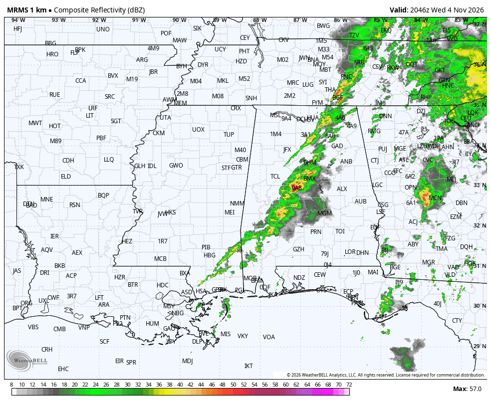
Strong thunderstorms continue across Central Alabama this morning, but he only warning is a severe thunderstorm warning right now for Sumter and Marengo Counties in West Alabama.
Heavy rain, intense lightning and gusty winds are likely with the storms that are part of round one of today’s doubleheader.
This activity is slowly weakening this morning as it outruns increasing moisture ahead of a surface cyclone in the Midwest.
East Alabama before 9 a.m. but it is still capable of producing damaging winds and a few tornadoes, especially over southern portions of the area where a tornado watch remains in effect until 8 a.m.
Then we will see if the atmosphere can reload enough to produce strong to severe thunderstorms for round two this afternoon.
Here is the HRRR model output for 4 p.m.
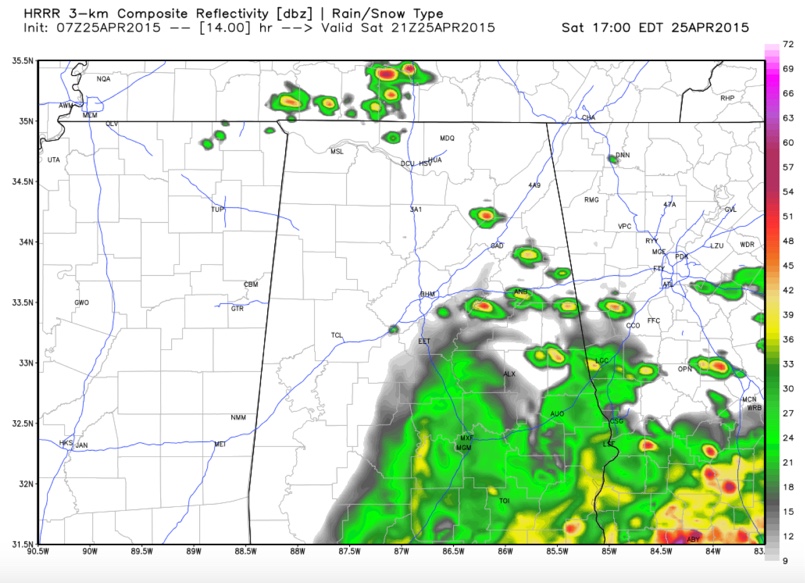
As you can see, it is only forecast a couple of isolated thunderstorms over Northeast Alabama.
BUT…
The 4km NAM paints a very different picture, and one that I think may be more likely. Here is the simulated radar from 6 p.m. this evening showing scattered large supercell thunderstorms developing in an unstable environment with CAPE values of 3,000-4,000 j/kg.
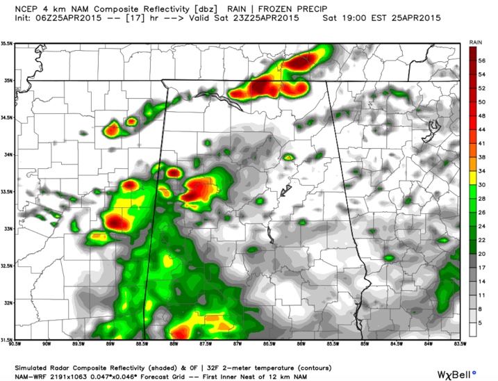
Here are the instability values from the 4km NAM:
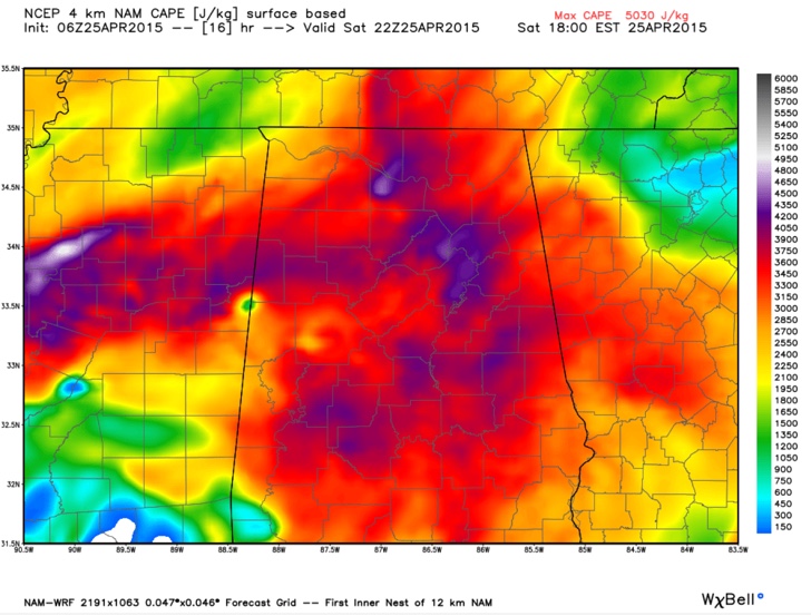
The good news is that the dynamics will be weakening from the west by then, but low level helicity values will still be strong east of I-65, between 100-200 m2/s2.
So, thunderstorms which do redevelop this this afternoon over Central and North Alabama will have the potential to be severe with damaging winds and hail like and a few tornadoes, especially east of I-65.
Stay weather aware this morning and again this afternoon across Central and North Alabama.