


As of 9:12 am, the line of storms are now line up along and just to the west of the I-59 corridor from the northeast corner of the state to where the interstate exits Alabama and crosses into Mississippi down in the southern parts of Sumter County. No warnings are in effect at this point, and the thermodynamic profile is not favorable for significant convection for now. We will have to continue to watch this line as it moves into more untapped air and as the temperatures continue to warm during the late morning and into the afternoon hours.
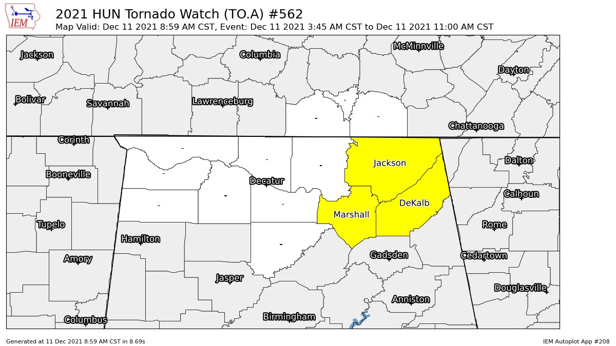
The tornado watch for Fayette, Walker, and Winston counties in Central Alabama, and for Cullman, Madison, and Morgan counties in North Alabama, has been canceled. The watch remains in effect for DeKalb, Jackson, and Marshall counties until 11 am.
For locations to the west of the main line of storms, the severe weather threat has ended for today and much cooler air will start to full into the area. For now, the threat is very low along and ahead of the line, but as I said earlier, we’ll have to watch those thermodynamic profiles later today as temperatures rise with the daytime heating.



