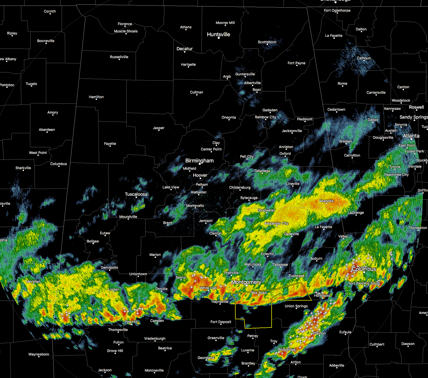
The storms that moved through the Birmingham area this morning continue to push southward through the southern parts of Central Alabama. The environment is less favorable for severe storms in the southern parts of the area, with lower 0-6km shear values and less instability.
The line is currently stretching from Butler to Camden to just south of Tuskegee. A Severe Thunderstorm Warning continues in effect until 5:00AM for parts of Montgomery and Macon counties for the threat of wind gusts of 60 MPH or more. There is a report of a 64 MPH wind gust already in Montgomery just a few minutes ago.
This line should continue to weaken, and maybe 1 or 2 warnings could be issued as it pushes off to the south. It will be out of the Central Alabama area within the next 2 to 3 hours.
James Spann will have your forecast for today through the weekend up on the blog later this morning. Could we see some wintry mischief? He’ll have the details later in the morning. Stay tuned…