


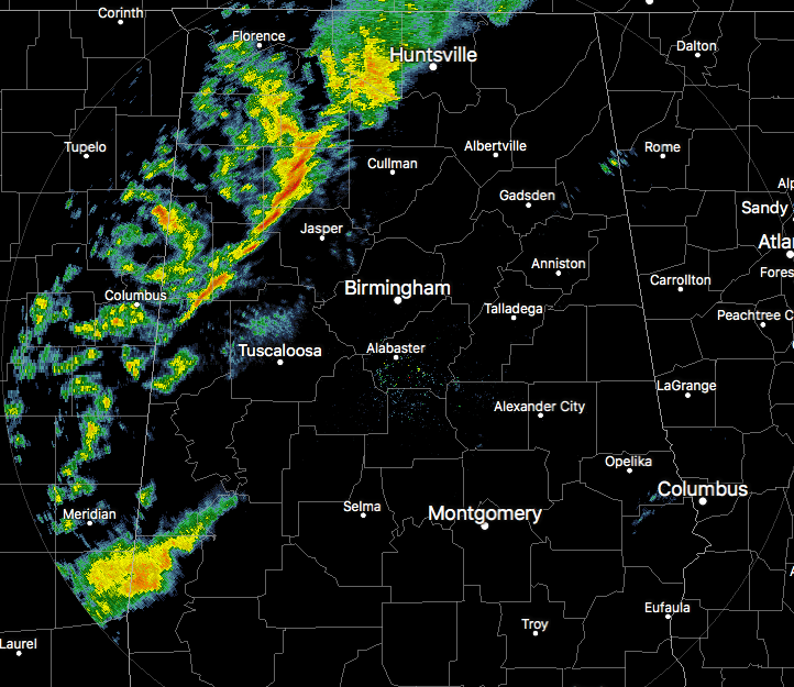
A broken line of showers and thunderstorms is currently stretching from the Alabama/Tennessee state line at New Market back to the southwest to Hartselle to Carbon Hill to Pickensville and is moving quickly to the east. Things have calmed down from earlier this morning when a Tornado Warning was issued for Colbert County. So far, no reports of damage have come in which is great news. A couple of Severe Thunderstorm Warnings were issued as well, and we may have a few more issued before this system moves out of the state later this morning.
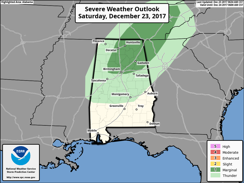
SPC continues to have nearly all of North/Central Alabama that is out ahead of the line and north of the I-20 corridor in a Marginal Risk for severe storms, with damaging thunderstorm wind gusts as the main threat. There is a very small threat for a possible tornado, but it is very low. There is enough surface-based instability (up to 300 J/kg) and low-level helicity that a few thunderstorms could have the potential to rotate. The Significant Tornado Parameter is below 0.5 at this point, so the threat is there but is really small.
By noon, most, if not all, of the rain activity will have pushed east of the I-59 corridor in the northern half of the area, while the tail of the squall line will still be hanging back affecting places such as Montgomery, Auburn, and Phenix City.
Stay tuned with the blog throughout the morning for more updates.



