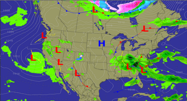
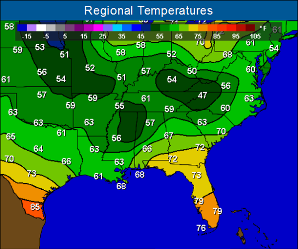
TEMPERATURES: A cold cloudy afternoon continues across Alabama and the Southeast today. Temperatures are only in the mid 50s in most areas. Average highs for this time of year are in the lower 80s. These well below temperatures are being caused by a cold core upper-level low tracking across the region.
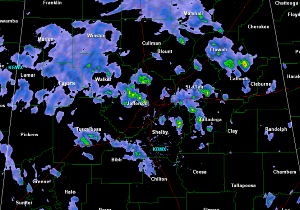
RADAR: Scattered showers have expanded in coverage this afternoon across the northern half of the state. Areas along the Interstate 20 corridor are seeing the more intense showers. As cold as the upper-levels are, small hail and graupel can be expected to be mixed in with any showers today. Scattered showers will continue the rest of the afternoon and into the overnight hours.
OVERNIGHT: This cold air will continue across the state for the next 24-36 hours. Tonight most locations will see low back in the 40s. Scattered showers will continue to dot the weather map across Alabama. Forecast map below for sunrise in the morning shows unsettled weather will persist over the northern half of Alabama into Monday. Another cold, cloudy day with scattered showers the first part of the day looks to be what we can expect heading out the door in the morning.