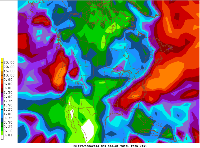
GFS 0z Precipitation Totals through December 16th
It looks like it might be time to buy stock in a rain gear company if you are looking at the forecast for Central Alabama over the next 7-14 days.
But the consolation prize is that much of the work week ahead will be warm before colder weather invades for the weekend. In fact, by Wednesday and Thursday, highs will be in the 70s, some ten degrees or more above normal.
But for today, it is a mixture of sun and high clouds. Those high clouds will be thickening from the west ahead of our next weather maker, an upper level trough that will pass to our north tomorrow and Tuesday.
Patches of rain (mainly light) will move into western Alabama tonight and be with us much of tomorrow. They should thin out on Tuesday, but won’t be completely out of the picture as southerly winds start to ramp up moisture levels. The increased moisture will conspire with a touch of sunshine both Tuesday and more so on Wednesday, which will push the mercury into the middle 60s Tuesday and 70s on Wednesday. The combination will trigger more showers Wednesday.
Then by Thursday, an approaching trough will find enough instability to trigger showers and some storms.
It looks like the best chance for rain and storms, and heaviest rainfall, will be on Friday as the cold front slowly approaches from the northwest. No severe weather is expected.
The bad news is that the precipitation chances remain high behind the front, which is always troublesome in winter, even if it is meteorological winter. The GFS thinks it might rain right through the weekend, but keeps us arm enough for it to be liquid. Weekend highs will struggle to reach 50F.