


Accumulated rainfall from this morning according to Doppler radar…
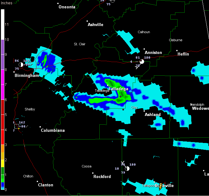
Some showers and storms formed early this morning from the eastern part of the Birmingham Metro area eastward. There was even heavy rain and active lightning and thunder near Talladega for awhile. Some folks picked up at least one half inch of rain, but a few lucky spots in Talladega County picked up an inch or more.
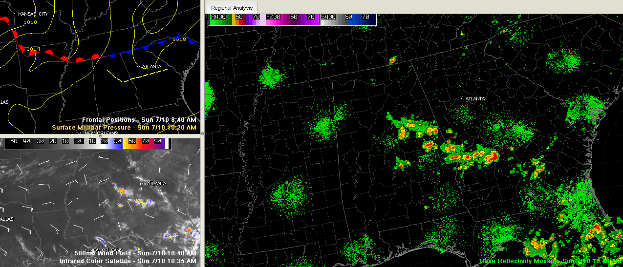
With the high pressure aloft, we might expect to see lots less convection, but as evidenced on radar this morning, there are some surface and upper level features that have been lying around to trigger convection from the high octane heat and moisture we have in place.
Hopefully that will continue and will provide at least a few communities each day with a little relief from a significant heat wave that will affect Alabama this week.



