


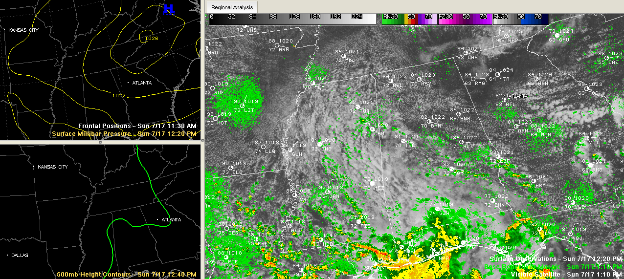
It has been a beautiful July day across Alabama.
Beautiful in the sense that it is a bit cooler than normal, has a breezy east, some decent clouds so it is not broiling hot and a beautiful, clean blue sky thanks to the strong easterly flow.
That flow is bringing in drier air, especially over Northeast Alabama, where convection will be rather unlikely this afternoon.
There is more moisture the further southwest that you go, and the increased moisture, combined with a bit of a weakness in the atmosphere over South Alabama will allow for more in the way of storms over West Central and South Central Alabama.
So folks mainly southwest and south of Birmingham should see the best chance of storms this afternoon, probably in a band from Columbus MS to Tuscaloosa to Montgomery, Alex City and Columbus GA.
Highs will top out between 88-90 for the most part.
See the big ridge of high pressure in the top right panel above? That is at about 18,000 feet. That area enclosed in the green pressure height line will produce sinking air that will snuff out storms and allow things to heat up. Heat advisories and excessive heat warnings cover a wide area of the Plains and Midwest.
We will be on the periphery of that ridge, with slightly hotter than average temps an isolated storms for the start of the new work week.



