


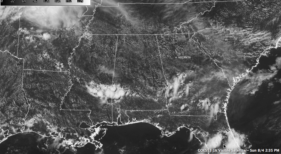
The disturbance that triggered last night’s showers and storms is in Georgia now, and some drier and sinking air is spreading across Alabama in its wake.
This means that showers and thunderstorms should only be isolated across the area this afternoon. In fact, for folks north of Montgomery could well escape without any showers or storms today.
The devil is in the details as to the forecast, and those details are very subtle in summer across the Deep South. Let’s check out…
…THE PLAYERS: Our main feature is the upper high centered just west of Dallas. It has been around a good part of the summer. It is delineated by the 594 dkm height contour. That’s just how we keep up with it In the Weather Office. That high is sort of shaped like a football, which is appropriate given that the college football season is less than four weeks away!
The high is pivoting a little westward again and orienting itself more in a northwest to southeast direction. This is affecting the co-star in our forecast, the big upper trough over the eastern United States. It has also been a fixture for the past few weeks. The ridge is actually making the trough deepen.
In between the two, that pesky northwest flow aloft acts like a river sending little rogue disturbances floating our way. These disturbances are bit players (you can barely see them), but that play a big role in how the forecast scenario.
TIMING THE DISTURBANCES: As we said, the first disturbance is in Georgia, giving us the drier, sinking air. The next one upstream is over Missouri this afternoon. It has been causing trouble since it left eastern Colorado yesterday, piling up lots of hail and causing flooding. Many flash flood warnings were required overnight across Kansas. The complex has been weakening through the morning hours however and should fall apart as it approaches the Mississippi River tonight.
MONDAY LIKE TODAY: Tomorrow shows signs that it will be a lot like today, with showers and storms limited to the isolated category. Most places will remain dry. Moisture will slosh back into the area on Tuesday, but rain chances will still be fairly low, on the order of 20%. Highs will be between 90-92F.



