


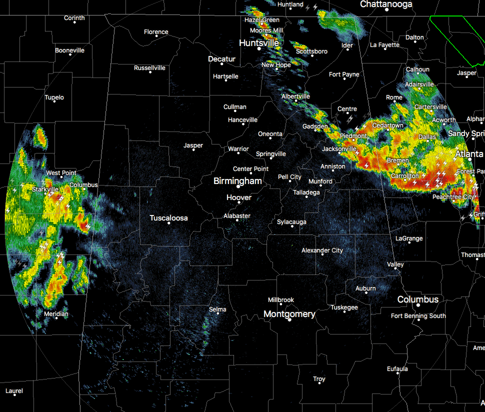
We continue to have stronger storms moving through the extreme eastern counties of Central Alabama, as they are associated with a MCS that is currently moving southward through Central Georgia at the moment. The good news is that the activity seems to be weakening some as it moves into a little more stable air, but there is still a good bit of heavy rainfall, plenty of cloud-to-ground lightning, and some brief wind gusts up to 40 MPH. This activity is moving to the south-southeast at 35 MPH.
We now have showers and thunderstorms associated with another MCS that is currently moving southward through MIssissippi that are about to drift over into the west and southwestern parts of Central Alabama, mainly in Pickens and Sumter counties. There are a few spots of heavy rain and some cloud-to-ground lightning, but this activity doesn’t look to be particularly strong at this point. This activity is moving southeast as well.
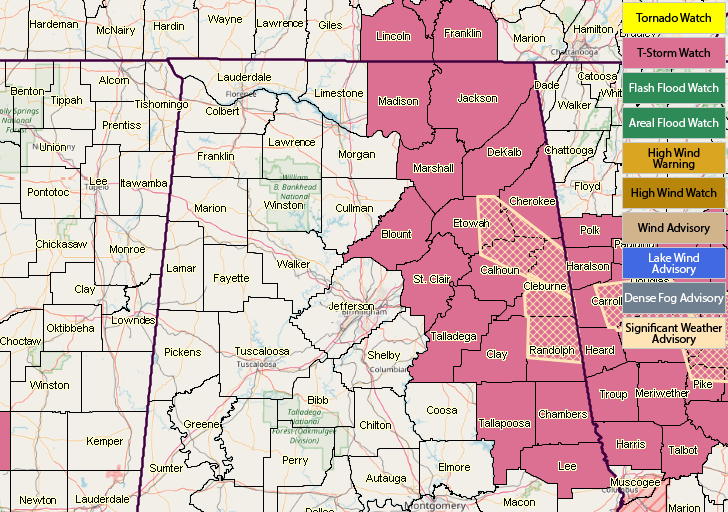
NWS Birmingham continues the Severe Thunderstorm Watch Blount, Calhoun, Chambers, Cherokee, Clay, Cleburne, Etowah, Lee, Randolph, St. Clair, Talladega, and Tallapoosa counties until 9:00 AM.



