


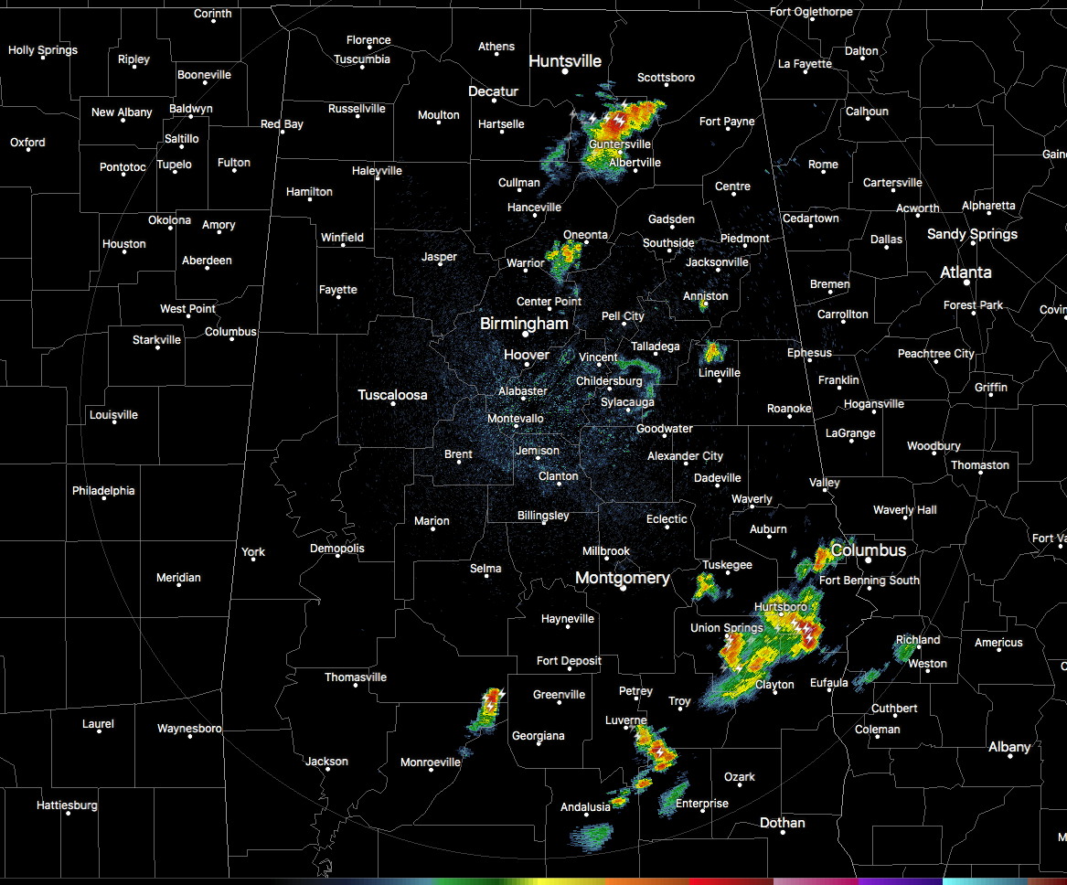
We still have a few pesky thunderstorms that just refuse to quiet down for the evening. The strongest one on radar at this point is over parts of Marshall County that is moving to the east at 20 MPH. While this storm is not displaying severe criteria, tremendous cloud-to-ground lightning strike is occurring… up to 100 strikes within a 15 minute span. Locations from Grant to Guntersville is getting an impressive lightning display at the moment, along with very heavy rainfall.
The other larger storm at the moment is located down in the southeastern parts of Central Alabama, mainly over portions of Bullock, Barbour, and Russell counties. Heavy rainfall and a good bit of cloud-to-ground is occurring with this cluster as well. These are moving to the southeast at 25 MPH.
There are a couple of more showers out there, but they are just general showers with maybe an occasional clap of thunder or two.
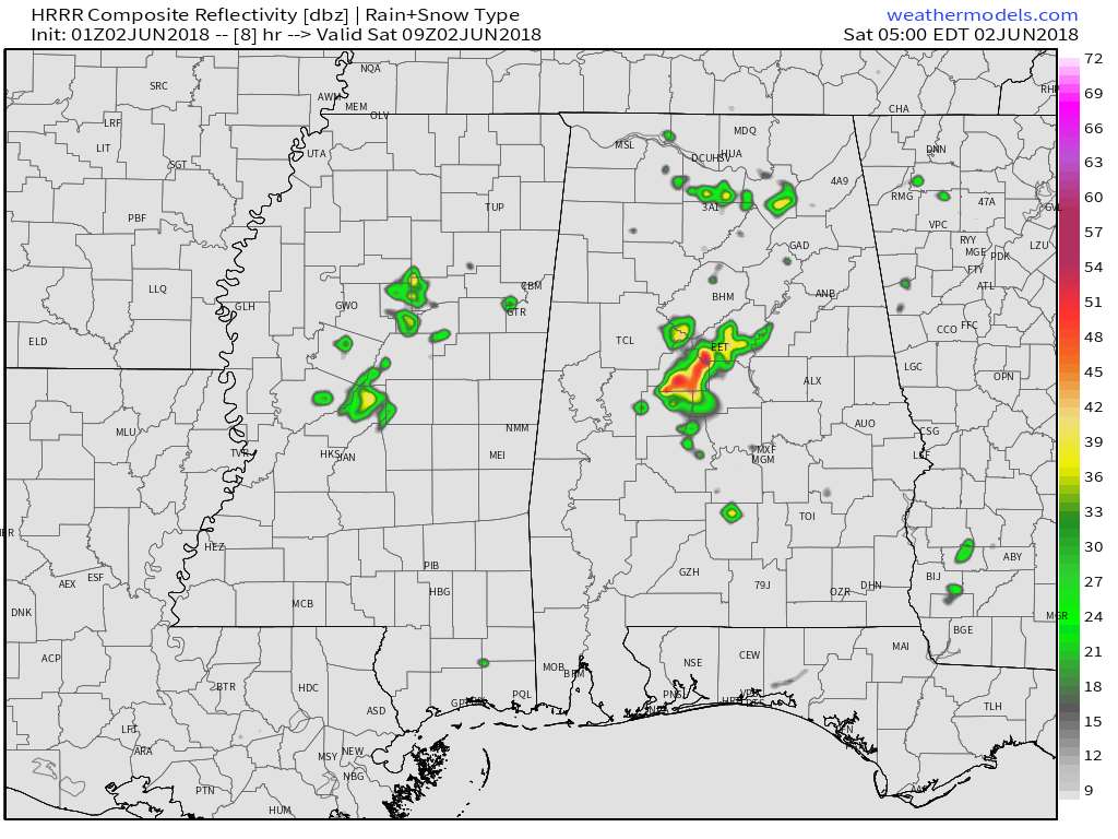
The latest HRRR model run is hinting at the development of a couple more thunderstorms during the overnight hours around the western parts of Tuscaloosa County and the eastern parts of Jefferson County and moving southeast as it grows. The above image is valid at 4:00 AM Saturday morning. We’ll have to see if this is what turns out. May be a loud storm with some lightning, but with the missing ingredient of heating, it is highly unlikely that it would become strong or severe.
Thank you for sticking with us throughout the day. Have a wonderful evening.



