


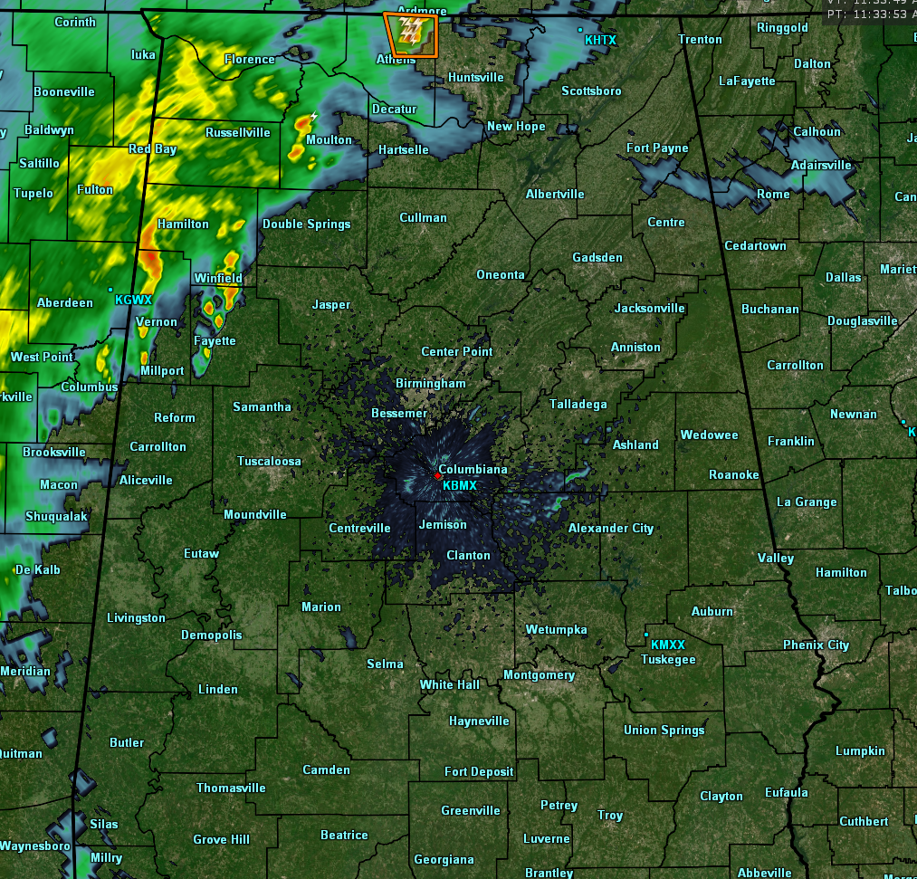
RADAR CHECK AT 11:40 AM
We currently have a ragged line of showers and thunderstorms stretching from the northeastern parts of Limestone County down to the southwestern parts of Lamar County, with once cell that has a Severe Thunderstorm Warning on it. That is for the northeastern part of Limestone County until 11:45 AM. The main threat with that cell is damaging winds up to 60 MPH and quarter size hail. The rest of the line is well below severe criteria.
Even though this line has been able to work into the northwestern parts of the state, there is still plenty of drier air out ahead of it that is causing some of the moisture to diminish. The line is much thinner than it was at 8:30 AM when I did the last update post. Movement to the east is very slow for the entire line, around 10 MPH. If it holds together, rain will make it into the Tuscaloosa area around 2:00-3:00 PM, and into the Birmingham metropolitan area by 3:00-4:00 PM. This line will continue to diminish in size throughout the afternoon hours, and just about all of the rainfall should be done by the late night hours.
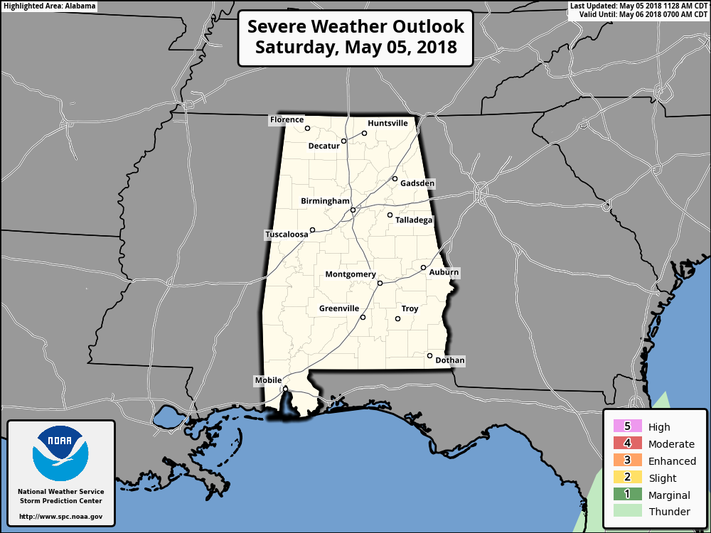
It is interesting to note that the Storm Prediction Center has removed the thunderstorm risk out of the Day 1 Outlook for the remainder of the day. We still have active thunderstorms ongoing in the north, but they are probably seeing this line weakening, as I mentioned earlier, as it progresses eastward. I’ll have another update in a couple of hours.



