


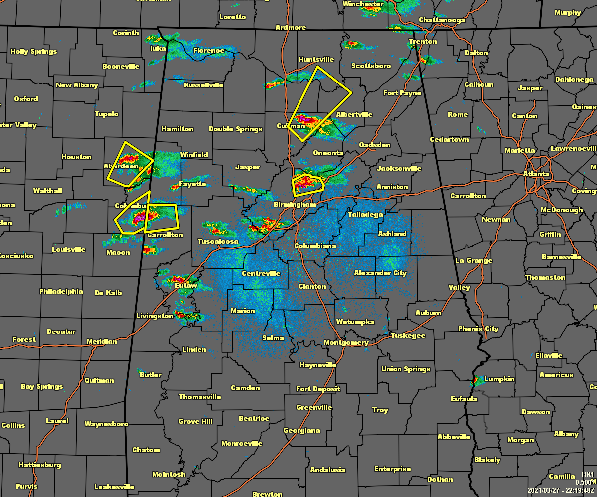
DAY ONE…Outlook through Tonight.
Severe storms may develop through 8 PM along, north and west generally of Interstate 59. The main threats will be large hail and damaging winds.
Minor flooding will occur along portions of the Tombigbee, Cahaba, Coosa, Locust Fork, and Black Warrior River Basins.
Severe storms may develop across the northwestern portions of Central Alabama after midnight. Areas impacted before sunrise should be generally west of Interstate 65 and north of Interstate 20. Large hail, damaging winds, and isolated tornadoes are possible.
DAYS TWO THROUGH SEVEN…Sunday through Friday.
A line of thunderstorms will track southeast across Central Alabama through 4 PM Sunday. There is small risk of severe storms with a threat of large hail and damaging winds.
Minor flooding will continue along portions of the Tombigbee, Cahaba, Coosa, Locust Fork, and Black Warrior River Basins this weekend and into early next week.
A light freeze is possible Friday morning across areas along and north of Interstate 20.



