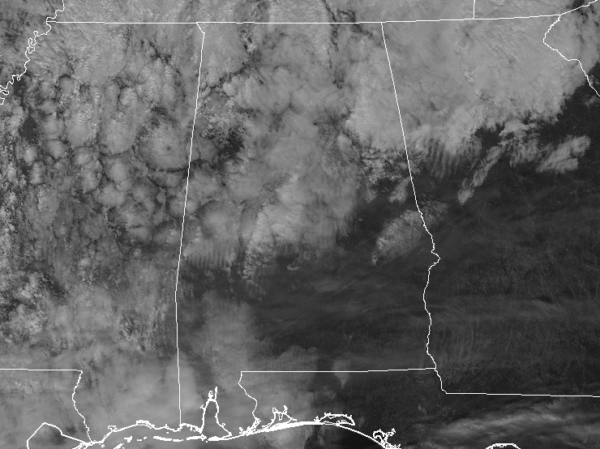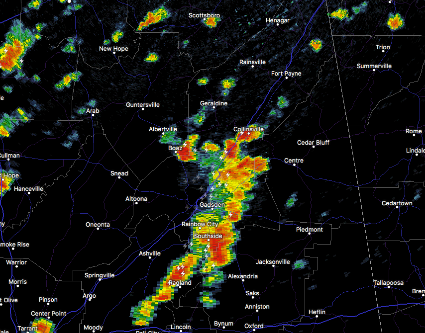
At 11:31 AM CDT, Doppler radar was tracking a strong thunderstorm near Crossville, or 12 miles east of Boaz, moving northeast at 35 mph. An additional strong storm was tracking east along the Marshall and DeKalb County border near Boaz. Pea size hail and winds in excess of 40 mph will be possible with these storms.
Locations impacted include…
Albertville, Fort Payne, Boaz, Rainsville, Little River Canyon National Preserve, Collinsville, Crossville, Fyffe, Powell and Geraldine.
Strong gusty winds will be capable of knocking down small tree limbs along with other small unsecured items. Seek safe shelter until this storm has passed.
Very heavy rainfall is also occurring with this storm and may lead to localized flooding. Do not drive your vehicle through flooded roadways.