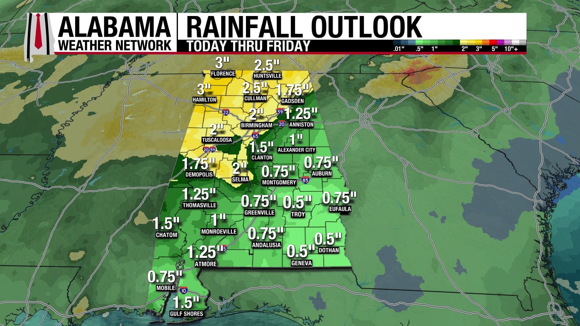
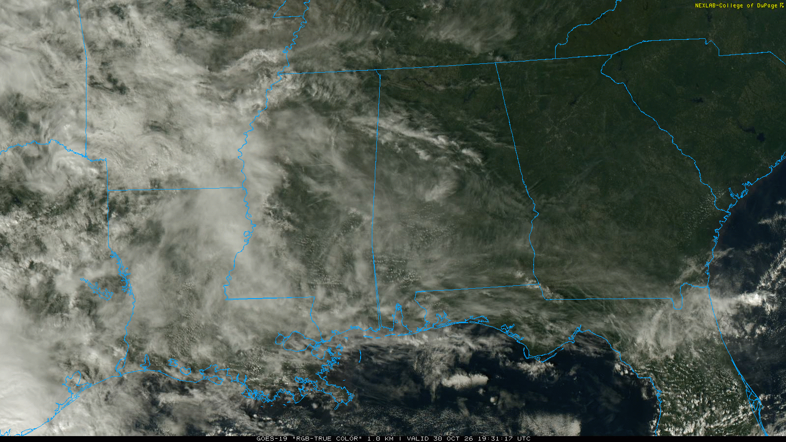
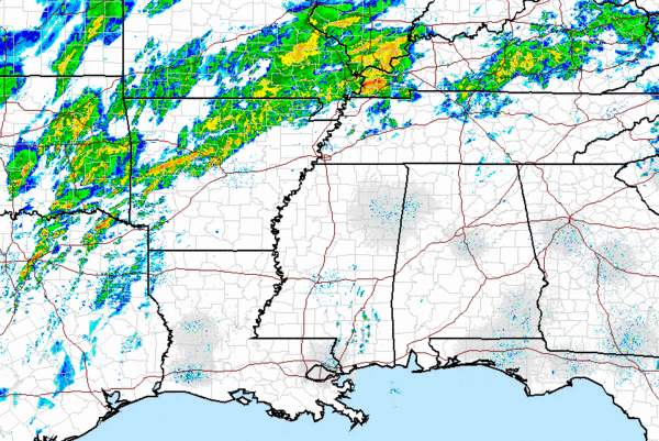
A quick look at the radar this afternoon, shows most areas across Central Alabama remain dry for now. Some sprinkles and drizzle are possible, but the heaviest rain remains to our north and west. Expect additional showers and thunderstorms to develop throughout the afternoon and into the evening hours. Some storms back toward the Mississippi River could reach severe limits, but as the storms move towards us, we are not expecting severe weather. Flooding is a significant threat for much of the south as numerous flood watches and warnings are in affect in many area. Heavy rain is falling across northern Arkansas which is where the greatest uplift is located with the front. As the front inches its way towards our direction, rain chances and coverage will be on the increase. Several more days of wet weather are on tap for Alabama.
Published on: January 12, 2013 at 2:04 PM
Related Articles
October 31, 2026 at 7:11 AM
Scattered Showers for Halloween
Our dry, benign weather pattern gives way to a more active pattern starting today. An upper-level shortwave moves through Alabama today and tomorrow bringing some rain to the state this weekend. The beginning of next week will be on the drier and quieter side before an upper-level trough pushes a surface low-pressure system through Alabama on Wednesday, bringing more rain and some storms. The week will end dry. Continue reading →
READ MORE
October 30, 2026 at 3:02 PM
Some Rain At Times Over The Weekend
WARM AFTERNOON: Temperatures are between 77 and 82 degrees across Alabama this afternoon with sun through high cirrus clouds. No rain on radar. Clouds will increase tonight. We will mention a chance of showers statewide over the weekend. A few … Continue reading →
READ MORE