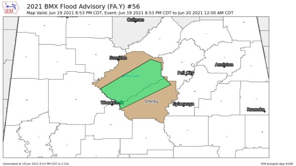
Something we want to mention first. An upper air low pressure system is still centered west of Alabama along the Mississippi-Arkansas border. The air is muchcolder aloft with that feature. For example, at 500 millibars (about 18,000 feet) the temperature was 5 above zero (F) over Birmingham while over Jackson it 13 degrees colder at 8 below zero.
Bottom line…probably some more showers and thunderstorms to come across later today.
At mid-morning, most of the rain had shifted eastward to the east half of the state. There was a small area of moderate to heavy showers along the Lamar-Pickens County line in West Alabama. Moving NE toward waterlogged Fayette County.
We are running out our ears with rainfall reports and we are grateful for all of them. Too many to list here but here is a comprehensive sampling: (24 hour totals)
3.18 inches at Brookley Field, Mobile
0.41 at Birmingham Airport
0.20 at Anniston Airport (probably a lot more by now)
0.48 at Shelby County Airport
0.72 in Dothan
0.91 in Evergreen
0.19 at Huntsville
3.37 at Mobile Regional Airport
0.52 at Montgomery
2.53 at Muscle Shoals
2.43 at Tuscaloosa Airport
0.82 in Selma
2.07 in the Bankhead National Forest
0.50 at Decatur
0.48 at Cullman
0.46 at Alexander City
0.53 at Ashville
0.51 at Childersburg
2.01 at Cordova
0.55 at Clanton
2.50 at Carbon Hill
3.46 at Haleyville
2.56 at Jasper
0.40 at Oneonta
0.49 at Pell City
0.50 at Sylacauga and Wilsonville
0.48 in West Hueytown
3.35 in Fayette
3.26 in Fayette (two separate locations)
3.64 in South Fayette County
2.27 in Northport
0.86 in Greystone Cove (North Shelby)
0.58 in Helena
It is likely that totals in East Alabama are greater now than when these reports were made earlier this morning.