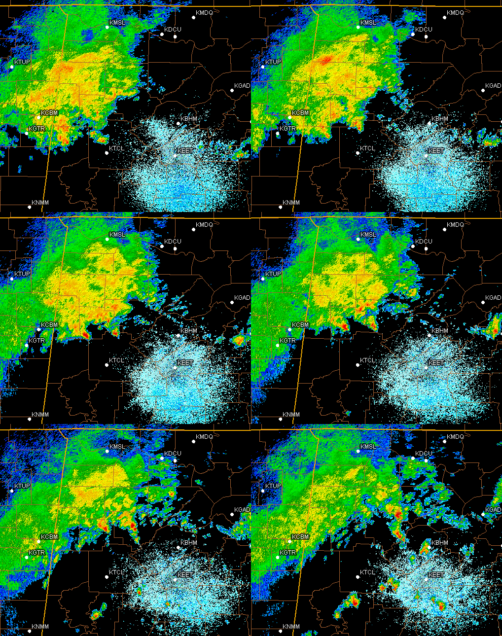
The area of rain over Mississippi and northwest Alabama has moved very little since early this morning. The above radar loop is for approximately the past 3 hours. However, notice that, in the warm, unstable air out ahead of the main rain area, scattered thunderstorms are starting to develop, some in the BHM Metro area. More of these will likely develop as temperatures slowly rise with mostly cloudy skies this afternoon.
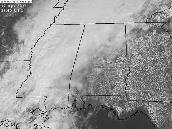
You can really see the difference between the stable, steady rain area and the unstable area ahead of it on satellite. Notice the bubbly clouds forming over central and south AL and GA. Some of these bubbly cumulus clouds will develop into storms this afternoon, especially near the stalled out front that is just north of I-59.
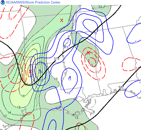
The big rain area in Mississippi and NW Alabama has produced some heavy rainfall amounts, with much of NW Alabama already receiving 1-2″ of rain this morning, and parts of Mississippi up near 4″, where numerous Flash Flood Warnings are up. That rain area will finally start to move east toward the BHM area by this evening, as an upper-level disturbance, currently approaching northern Louisiana (see chart below), kicks the whole system through here. As it does, most of us will receive some good rain, generally around a half inch, with some spots getting up to 1″. NW Alabama, where it has already been raining, may have a few spots with 3-4″ of rain before it is over.