


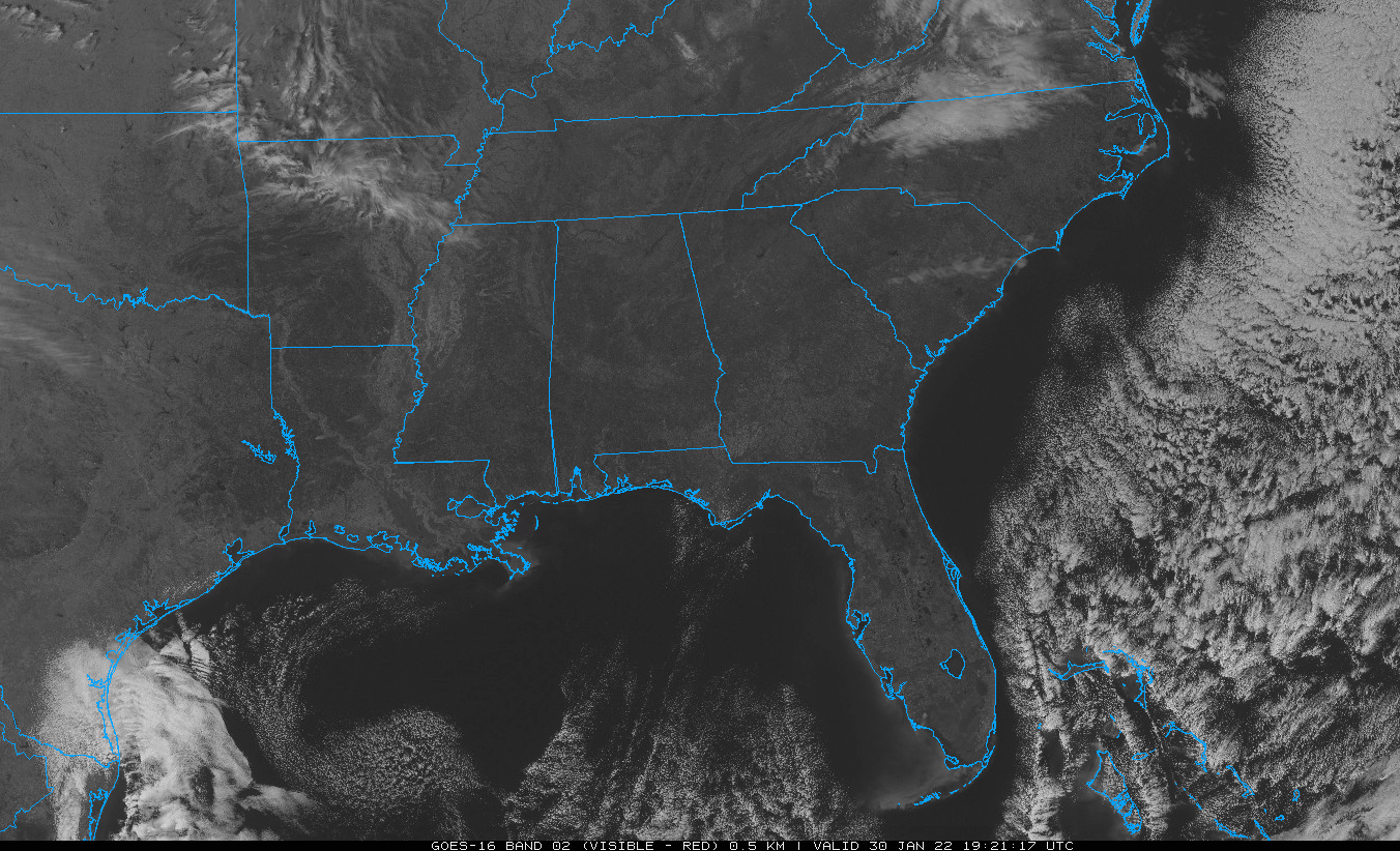
It is clear across Alabama at this hour, but some high, fast-moving cirrus and cirrostratus are swinging southeastward across Arkansas and Mississippi. Perhaps they will bring us some nice sunset photos. Get those smartphones and cameras ready and remember to tag @spann.
The nearest precipitation to Alabama is a small patch of light snow over western Pennsylvania. You have to go all the way to southern New Mexico to find the nearest precip to the west.
Temperatures are in the 50s and lower 60s this hour, right about where they will end up for the daytime highs.
Tonight will feature a few clouds, with lows dropping into the mid and upper 20s over North Alabama, with lower 30s to the south of I-20.
Get ready for a nice day tomorrow. After a chilly start, the mercury will warm into the lower 60s south and west of Birmingham, with upper 50s across North and Northeast Alabama. Lows Monday night will be warmer, as southeasterly winds kick in thanks to the high-pressure ridge to our east. Lows will be mainly in the middle and upper 30s, with freezing temperatures constrained to Northeast Alabama. Winds may become a little breezy at times Monday night into Tuesday morning. All the better to pump that warmer air into the area. Look for 60s for highs on Tuesday.
By Wednesday, a deep upper trough over the southwestern United States will be pressing eastward, pushing the big ridge out of the Great Lakes and into the North Atlantic. Ice may be a problem by midweek in areas to the west and northwest of Alabama, especially over the Ohio Valley with a good bit of snow in the colder air over the Midwest.
But here in Alabama, the precipitation will be all rain. The first wave may push rain into Alabama early on Wednesday, and rain will expand across North and Central Alabama through the day before lifting to the north ahead of the next wave Wednesday night. More widespread and heavier rain is expected Thursday. But should stay liquid.



