


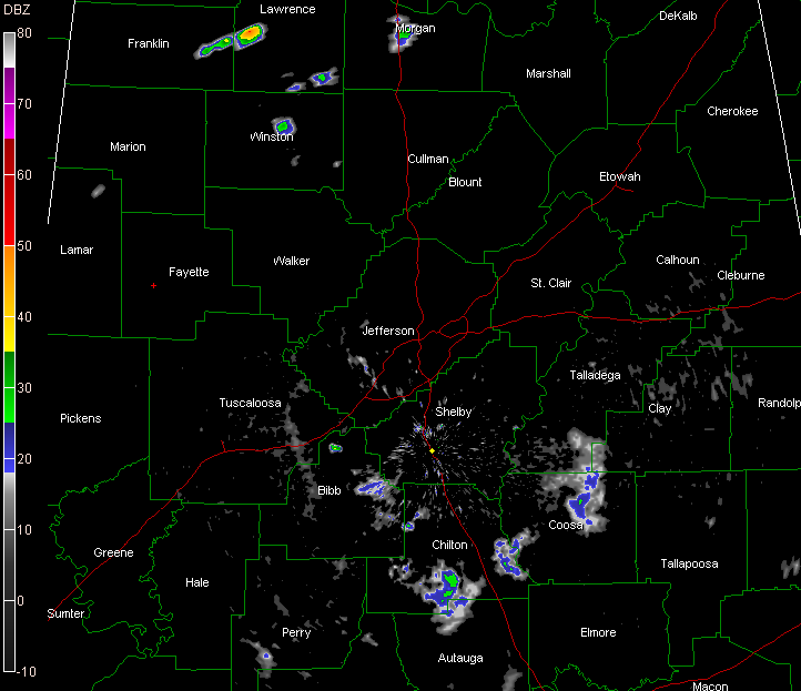
The radar shows that nearly all of the showers across Central Alabama have dissipated at this hour.
A few light showers were still playing out over Coosa and Chilton Counties.
The rest of the evening should be quiet.
Showers and storms were expected to be a little more plentiful yesterday and today, and coverage was about what was expected, but rainfall amounts were very light. Only a few lucky spots got appreciable rainfall.
One was the area around Huntsville, where flash flood warnings were required. Closer to home, a band around Springville where over an inch fell from a strong afternoon storm. A small area near Homewood may have also picked up an inch.
Birmingham reached 93F for the afternoon high. Gadsden topped out at 86F before showers and storms dropped the mercury to 77F. Anniston also benefitted from showers, falling from a high of 91F to 79F in less than an hour. As far as showers, West Alabama did not see as many, actually nearly none. This allowed the mercury at Tuscaloosa to reach 94F.
Tomorrow should feature better coverage of showers and storms.



