


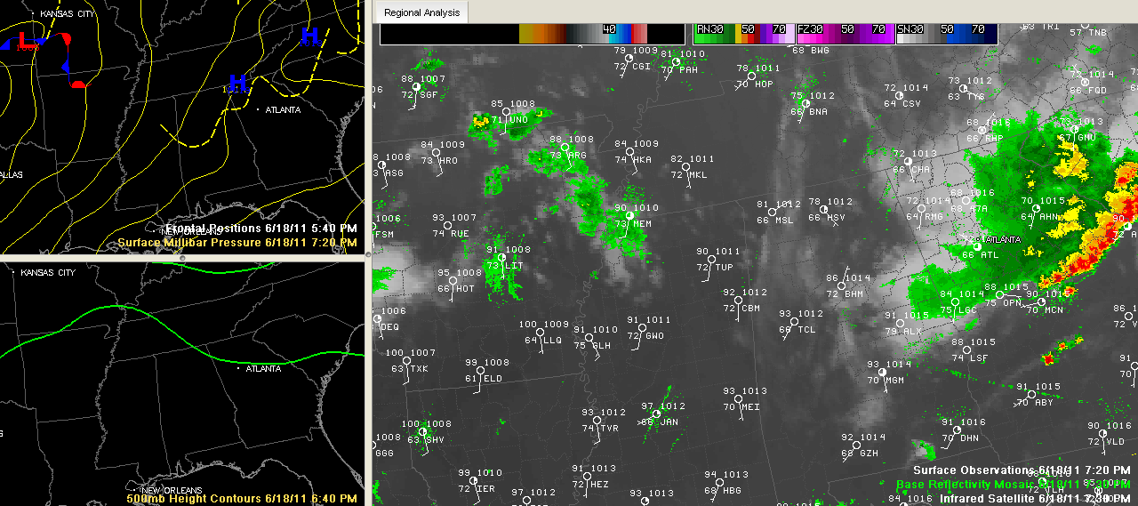
Click to enlarge.
The rain is all out of Alabama at 7:30 p.m. tonight.
Skies were clearing from the west, with just some high cloudiness over western sections of Alabama.
There was a fairly widespread range of temperatures, from 78F at Huntsville to 93F at Tuscaloosa. It was 83F at Birmingham. The afternoon high was 95F at the Birmingham Airport as our run of above average temperatures continues. In fact, a forecaster at the NWS Birmingham reported today that this recent hot spell was in the top 1% of early June heat waves in the Magic City.
Rainfall amounts were light and spotty. The 0.21 inches at Fort Payne wins the day for the official reporting stations across North and Central Alabama.
It should be calm overnight with muggy lows in the 70s.
Looking upstream, we see new showers and storms forming over southern Missouri. If those get organized they will turn and head southeastward, probably much in the same way that today’s did, getting shunted into Georgia.
Even given that, we don’t expect much if anything in the way of rain and storms tomorrow. Expect hot and mainly dry conditions through at least Tuesday with better rain chances later in the week ahead.



