


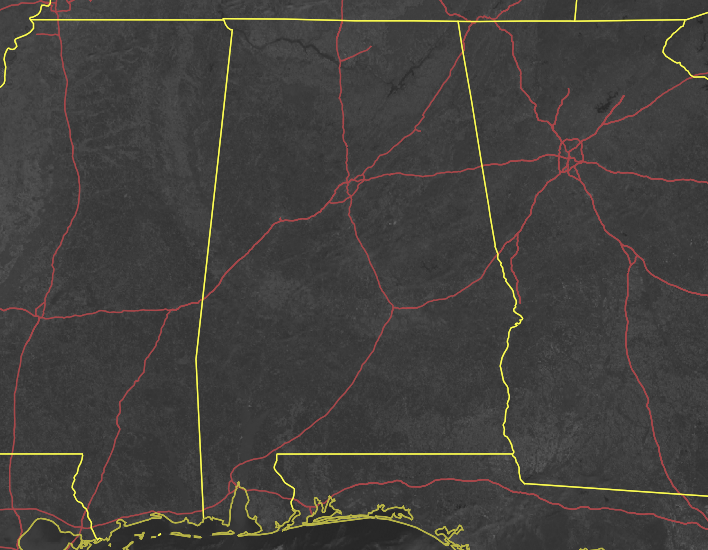
WHAT TO EXPECT FOR THE REST OF TODAY
Other than a few prescribed burns occurring in the area, skies across Central Alabama are nice and clear with tons of sunshine. Temperatures were in the upper 50s to the mid-60s as of the 11 am roundup.
We’ll continue to have those mainly clear skies across the area for the rest of the daylight hours with afternoon highs reaching the mid to upper 60s across the area, with one or two locations flirting with 70 degrees. For tonight, skies will be clear and it will allow those temperatures to drop down into the mid-30s to the lower 40s for the overnight lows.
DO WE GET SNOW THIS WEEKEND OR NOT
We will not have to worry about any weather issues on Friday as mainly sunny skies will be the name of the game with warmer temperatures. It will be quite nice as highs will reach the upper 60s to the lower 70s across the area.
A cold front will move through the area on Saturday that will drop those temperatures down much lower than what we have been enjoying. While much of the day will be dry, we can’t rule out a few snow flurries or light sprinkles on the backside of the front as it exits the area, but there will be no issues at all with this system. Highs will be in the lower 50s to the lower 70s from northwest to southeast, with highs occurring early in the morning for those northwestern locations.
A deep trough will continue to move through the area on Sunday that will keep us cool, but not frigid cold. Skies will become sunny early with highs topping out in the lower 40s to the lower 50s.
DRY WEATHER CONTINUES THROUGH MIDWEEK
The first half of next week will continue a streak of mainly sunny skies across Central Alabama, before moisture starts to move back into the area from the south and southwest, with rain becoming possible as early as Thursday afternoon. A cold front will push through the area during the day on Friday, which will keep showers in the forecast through the end of the day. Highs will go from the lower 50s to right around 60 degrees on Monday, to the mid-60s to the mid-70s on Thursday. Friday’s highs will be in the mid-50s to the upper 60s.
ON THIS DAY IN WEATHER HISTORY
1990 – Thunderstorms developing ahead of a cold front continued to produce severe weather across the southeastern U.S. through the morning hours and into the late afternoon. There were a total of twenty-nine tornadoes in twenty-nine hours, and 245 reports of large hail or damaging winds. Pre-dawn thunderstorms produced high winds which injured at least seventy persons in Alabama and Georgia and caused more than twelve million dollars in property damage. A tornado at Austell GA prior to daybreak injured two persons and caused two million dollars damage.



