


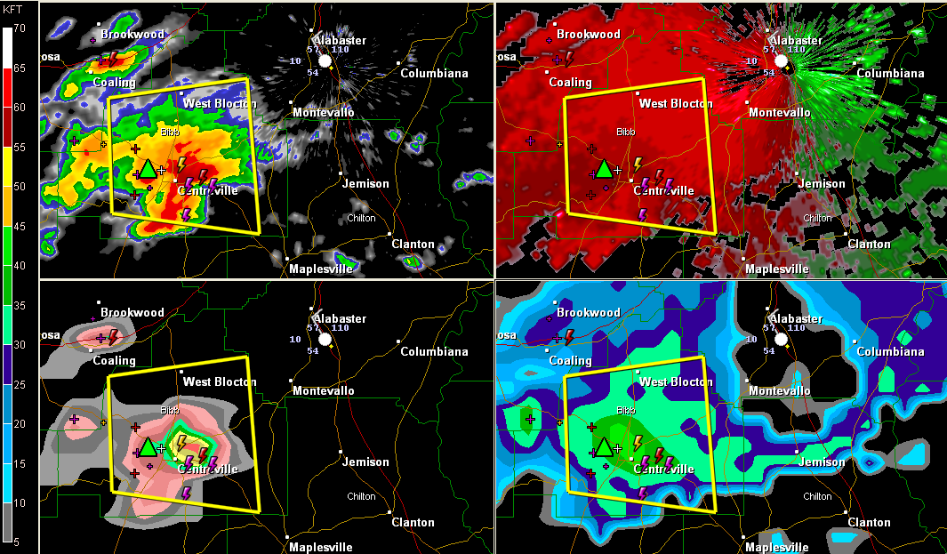
Storms have intensified again this morning over Central Alabama along the frontal boundary that has only made slow southward progress overnight thanks to another low pressure system that has moved along it to eastern Alabama.
The storm over Bibb County almost certainly has hail, perhaps as large as golf balls.
Here is a four panel radar chart:
Pay special attention to the VIL section in the lower left part. It shows the hail core passing just north of Centreville.
It will affect Ashby as it heads east towards Jemison.
The SPC warns that a new severe thunderstorm watch may be needed later this morning as surface heating gets going and the activity along the front becomes rooted at the surface. Right now the instability for the storms is not near the surface, so hail is the main threat. When they become more surface based,



