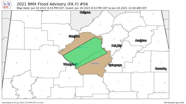
A long but irregular line of showers extends all the way down the east side of Mississippi. They are moderate to heavy but virtually no lightning.
Second line of showers, weaker, was north to south through West Mississippi. This line marked the cold front.
The risk of a severe thunderstorms in Alabama later tonight is small. However as the arctic cold front comes through overnight, there should be strong winds maybe gusting over 40 at times.
The warmest temperature of choice in Alabama this afternoon was 79. That was the high in Montgomery, Dothan, Montgomery, Troy and Fort Payne.
To our west, a Severe Thunderstorm Watch was in effect for North Mississippi most of the afternoon. We have seen no reports of severe weather in the watch, not even a warning.