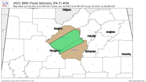
The rather broad band of rain and showers extends from Cleburne, Clay, Randolph and Talladega County in East Alabama…SW across Coosa and Chilton County tp Dallas and Wilcox.
Little or no lightning remains.
Moving SE.
There is little or no rain north of the Greensboro-Centreville-Birmingham-Gadsden line. However, a cold front is pushing into North Alabama. It triggered a line of light showers over NW Cullman County to NW Walker County. Moving SE.
Rain was more widespread today and this evening that we expected. Also the amounts were heavier. Some rainfall reports:
0.59 at Cook Springs (I-20 East in South St. Clair County)
0.40 at Blount Springs
0.62 in Carbon Hill (NW Walker County)
0.95 in Pell City
0.62 in Vincent
0.55 at Wilsonville
1.24 at Tuscaloosa Airport (one of the heaviest amounts)
0.41 at Birmingham Airport
0.54 at Shelby County Airport (NWS)
0.62 at Huntsville Airport
FROM 33/40 NETWORK OF SKYCAMS AND WEATHERWATCHERS
0.87 at Hamilton
0.78 at Inverness
1.00 in Downtown Tuscaloosa (fits well with Airport amount)
0.38 atop Mt. Cheaha
0.44 in Downtown Birmingham
0.25 in Cullman
0.39 at Demopolis
0.73 in Hueytown-Concord
0.40 at Riverchase (ABC 33/40 Studios)