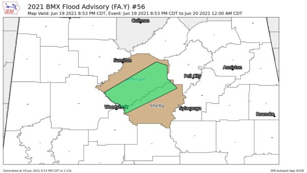
Widespread rain drenched Alabama overnight and numerous locations received more than an inch. Late last night many areas got a temporary break but more showers are advancing eastward from West Alabama very early this morning.
At 4 am, a line of showers, moderate to heavy, extended down the west side of the state from Decatur to Fayette, Tuscaloosa and Demopolis.
Moving east.
Some of the heaviest rain was around Fayette where 2.93 has already fallen overnight (including an additional 1.12 inches since midnight) and the total in a little over a month is well over 10 inches. These showers should reach the Birmingham area before the morning rush hour.
Behind that line of showers is a lone strong thunderstorm over West Central Mississippi.
It became very windy across much of Central Alabama between 10 and midnight last night but the wind abated after midnight. It is still quite windy on the ridges and not far off the ground this morning. Examples at 4 am:
* Downtown Birmingham Skycam atop the Daniel Building, wind was from the SE averaging 27 mph with gusts as high as 43. It was there where a gust to 63 mph was recorded late last night.
* Atop Mt. Cheaha in East Alabama, winds were SE averaging 30 mph with gusts to 47 mph. Feels almost winter-like because the temperature in all that wind was a chilly 49. The top of the mountain is in the clouds and visibility was not more than 1/8th of a mile.
Later this morning, we will post some of the heavier rain totals.
The big cluster of storms that dumped more than three inches of rain on Mobile last night in about two hours moved on over into NW Florida. Early this morning, the NWS in Tallahassee posted a Tornado Warning for Gulf County and the area around Port St. Joe