


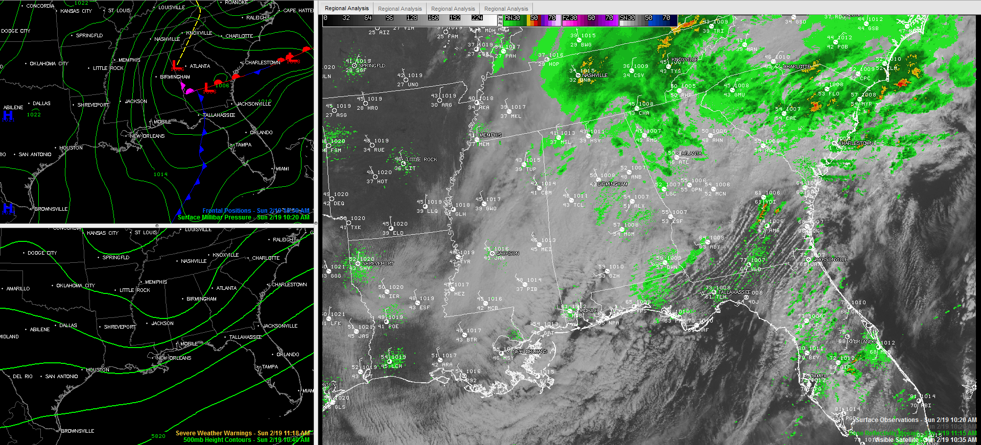
It has been a dreary morning across Central Alabama, and it will quickly become a raw afternoon as winds increase and temperatures start to slowly fall. Temperatures were in the 40s with a few 30s over North and Northwest Alabama at late morning, and around 50F from Birmingham to Anniston. Those readings will start to fall and there won’t be any sun to help them rebound, except maybe for a degree or two rally over Northwest Alabama as blue skies return late in the day. Increasing northwesterly winds will make it feel even colder. They will pick up to between 10-20 mph, with occasional higher gusts this afternoon.
PRECIP: There is a little bit of mist and light rain out there across the fruited Plain this afternoon. We will deal with a little lingering precip through the afternoon. It will be nearly all liquid, although there could be a few snowflakes in Northwest Alabama this afternoon.
CLEARING: We will start to see a few patches of blue over Northwest Alabama around lunchtime and in the Magic City around mid-afternoon, but the main clearing won’t reach Hamilton until mid-afternoon and Birmingham until sunset or later.
SNOW NORTH OF THE BORDER: A little light snow was falling late this morning at Nashville. There was also light snow at Monticello and Jackson KY. Winter weather advisories and winter storm warnings cover a wide area to our north from eastern Middle Tennessee through North Carolina into Kentucky, Virginia and West Virginia. Nashville is expecting up to an inch of snow. 3-4 inches above 3500 feet in the North Carolina Mountains and up to 6 inches in parts of West Virginia.



